Wandering what’s on this May half term holidays? Check out our What’s On guide.
Please note that this Errwood Reservoir walk gets exceptionally muddy in the wetter months along the moorland footpaths to the east of the reservoir.
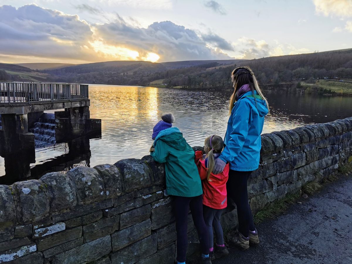
Over in the western part of Derbyshire’s Peak District, not too far from Buxton, lies the beautiful Goyt Valley, a popular hiking destination with moorland paths and two large reservoirs fed by the River Goyt, one of these being Errwood Reservoir.
This Errwood Reservoir walk starts on the northern end of the reservoir and takes in the once-magnificent Errwood Hall before following a woodland path that leads alongside the River Goyt upstream to a packhorse bridge. Crossing the bridge over the river, you then head back towards Errwood Reservoir across the moorland. From this point, the path is narrow, rocky and extremely muddy in wet weather.
The final part of the walk continues to follow the reservoir anti-clockwise, walking along the valley hillside to the dam wall and back to the car park along the road. There are plenty of picturesque spots along the way to stop for a picnic.
Please not that this is not a flat walk, with lots of ups and downs as you circumnavigate Errwood Reservoir. However, it really is one of the most beautiful Peak District reservoir walks, and if little legs are up for it, you may want to extend this to add on Shining Tor (although this would make for quite a mammoth day).
Disclaimer: This post contains affiliate links. Should you click to purchase, it is at no additional cost to you, but I receive a small commission.
When planning your visit to the National Park, please arrive early or late in the day to avoid crowds if visiting over sunny weekends or school holidays. Please also take all litter home with you, don’t bring BBQs, and park your car in designated parking areas. Also, please use these walks as a guide; access and stiles may change.
PARKING INFORMATION: Please do not rely solely on the postcode for parking directions. In the National Park, a postcode can cover a large area. Postcodes are only provided as guidance. Please either use the Google Maps point or what3words, which are provided on every walk guide.

Errwood Reservoir walk map
On all Peak District family walks it’s a good idea to have an Ordnance Survey paper map with you, even if you have your phone on you. For this walk you need the OS Explorer Active Map OL 24 (White Peak). It’s also a good opportunity to show young kids the map features and get them started with map reading.
| Preview | Product | Price | |
|---|---|---|---|

|
The Peak District: White Peak Area Map | Weatherproof | Peak… |
£12.34 |
Buy on Amazon |

Get a printable download of this walk
Want to print off this walk guide rather than rely on your mobile? Then click here to download the PDF to print out at home. Perhaps print out a copy for the kids to follow the step-by-step directions and/or photos? It’s a great way to get them engaged with the walk and gives them a sense of responsibility.
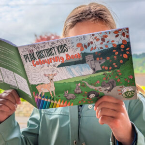
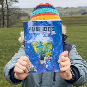
All printable downloads are £3 each. Click here for the full list of Peak District Kids printable downloads.
25% discount when you purchase 4 or more walk guides using code: PDKWALKS25
Please note that your download link expires 72 hours from order, so make sure you save your PDF somewhere where you’ll remember it. If you are unsure where your download folder is on your mobile device, we recommend you download the PDF on your laptop or desktop.
Need to know
DISTANCE OF WALK: 8.3km / 5.2 miles
TYPE OF WALK: circular reservoir walk
PARKING: Free parking at The Street Car Park. Click here for Google Map point, postcode SK23 7HB.
WALK HIGHLIGHTS: Panoramic views across the valley and Errwood Reservoir, walking along the River Goyt, open moorland paths, crossing a packhorse bridge, walking across Errwood Reservoir Dam.
HOW LONG DOES IT TAKE: This is a 3 hour walk without kids. But with a picnic stop and time for the kids to play, allow for 5 hours with young kids, or make a whole day of it.
ACCESSIBILTY: Whilst the first part of this Errwood Reservoir walk to step 7 is pram-friendly, the remainder involves narrow and rocky moorland paths that can get very muddy in wet weather.
TOTAL ASCENT: 187 metres
FACILITIES: There are no public toilets or eateries on this walk. The closest public toilets are located at the Derbyshire Bridge Car Park (2.3 miles away). In summer you may find an ice cream van parked near the car park. Alternatively, you could head to Buxton for food and drink which is just under 5 miles away.

The route
START: The Street Car Park
Click here for Google Maps point
Grid reference: SK 0135 7566
Post code: SK23 7HB
what3words: ///budgeted.crunching.boring
Route follows an anticlockwise direction.
1. Exit the car park and turn right to walk along the road for 700 metres. Errwood Reservoir is on your left. This road is closed to vehicles on Sundays and Bank Holidays (11am to 4pm) from 1st May to 30th September. At all other times it is open, so do be mindful of cars, and perhaps use the footpath to the right of the road.


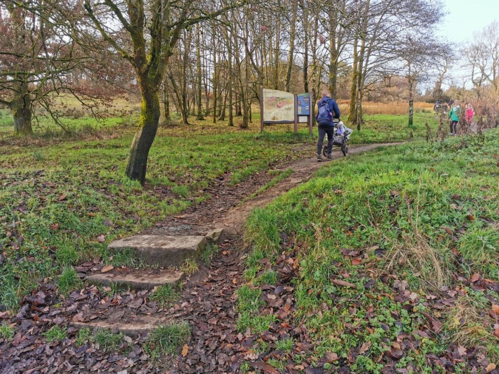
2. Shortly after crossing Shooters Clough Bridge (with ugly metal barriers erected to prevent people jumping into the water below), you will come across Errwood Hall Car Park on your right. Walk through the car park and head up the path towards the information board. Follow the path for 140m until it passes through a gap in a stone wall.


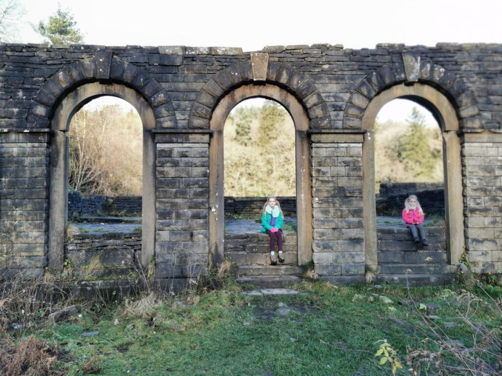
3. Follow the path straight ahead for 350 metres. Then take the switchback on the right, signposted to Errwood Hall. It’s sad to see how little is left of this once magnificent country house, which was demolished in 1934. For more information on the history of Errwood Hall, click here.


4. After exploring the ruins of Errwood Hall, retrace your footsteps back towards Errwood Hall car park. Just before the gap in the drystone wall that you previously passed through, take the footpath to the right. Both the stone wall and reservoir will be on your left-hand side. Stop to enjoy the views across Errwood Reservoir.


5. After 180 metres, you’ll reach a crossroad in the paths. Continue straight ahead (the footpath sign faintly reads ‘Goytsclough Valley’) following the path for 600 metres until you reach the road.

6. Cross the road and walk through the wooden gate and follow the riverside path, overlooking the River Goyt at the bottom of the valley. There are benches along the way to stop and enjoy the scenic views.


7. The path continues for 650 metres. Near the end, you’ll cross over a small wooden bridge. Just after this, follow the short footpath to the right that steeply climbs up to the road.
8. At the road, turn left and walk along for 300 metres, passing the closed car park on your right.

9. You will soon spot a packhorse bridge in the valley below. Just after the benches, bear left down the path, 50 metres to the packhorse bridge.


10. Cross over the bridge and follow the path to the left for 130 metres up onto the moorland. Where the path splits, bear left and follow the sign for Errwood. The moorland path is narrow, rocky and gets very muddy in wet weather.


11. 850 metres on from the signpost, walk through the collapsed drystone and soon Errwood Reservoir comes back into view. This leads to a wooden gate. Take a left at the wooden gate, keeping the drystone wall to your left.


12. When you reach the signpost, turn left in the direction of ‘Errwood’.

13. Continue along this path, passing through two wooden gates, as the footpath drops down into the valley to a bridge. This section of the walk is really picturesque and the path is wider and more easy going. After crossing the bridge, continue the footpath around to the left and uphill to views over Errwood Reservoir again.


14. At the viewpoint, where you will spot a couple of benches, there is a junction of footpaths. Take the footpath straight ahead, which passes immediately to the right of the trees (don’t take the footpath down to the left, nor the one to the right). Follow this for 1km to the road. Just before the road the path splits in two. Both footpaths lead to the road, but take the one on the left, towards the edge of the trees.


15. Turn left at the road and continue for 400 metres. The road bears left to reach Errwood Reservoir Dam. Walk across the dam using the pavement and then follow the road to the left uphill, back to The Street Car Park to complete this circular Errwood Reservoir walk.


Feature photo and some images: Gemma from Families Can Travel
-
-
 My Walks Log Book£10.95
 -
-

Peak District Kids is a free online resource. If you have found this website useful for planning your family adventures, you can show your support by buying me a coffee. Thanks so much!

Also, feel free to share your walk photos in our Peak District Kids Facebook Group or on Instagram using by tagging @peakdistrictkids in your caption so we can share with our wider community.
Want more ideas for family walks?
Best Family walks in the Peak District
Pram-friendly Peak District walks
Toddler walks in the Peak District
Walks with a baby carrier
Or, use the search walks page to find your perfect family walk.
Also, come and join our friendly Peak District Kids Facebook Group for any questions or to share photos of your walks.
