Wondering what’s on over the summer holidays for families? Check out our What’s On guide.
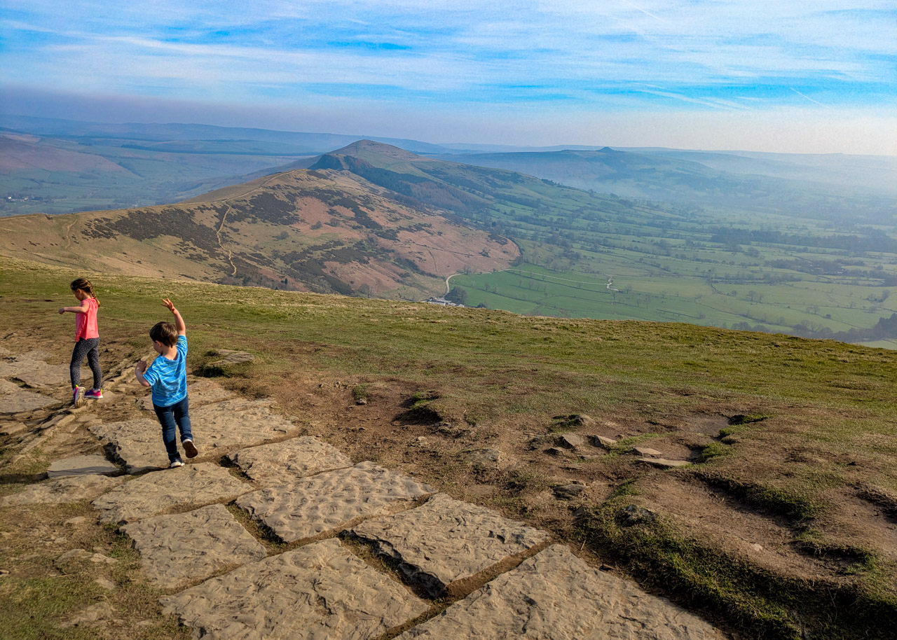
This classic Mam Tor walk is all about the views, so aim to visit on a clear day. It’s also one of the most popular view points in the UK (and understandably so, those 360 degree views are spectacular from Mam Tor trig point) and features in our top 10 Peak District walks with kids, so try and get there early or late in the day to avoid the crowds. Indeed, Mam Tor is a very popular sunrise and sunset spot, and during the summer months you will often see paragliders.
Starting at the Mam Tor National Trust car park it’s a short climb to the top of Mam Tor (517m). From here, the walk leads you down to Hollins Cross, and then down through the woodlands to meet Broken Road (which is a very broken road that was abandoned due to landslides in the 1970s). Following Broken Road the walk leads you up past the entrance to Blue Johns Cavern, before returning back to the car park.
If you just want to visit Mam Tor only and don’t want to continue this Mam Tor loop walk, read – How to get to Mam Tor the quick and easy way.
The nearest village to Mam Tor is Castleton. This is one of the Peak District’s most popular villages, and after your Mam Tor walk you may want to check out these things to do in Castleton.
Disclaimer: This post contains affiliate links. Should you click to purchase, it is at no additional cost to you, but I receive a small commission.
IMPORTANT READ: How to stay cool for your Peak District summer walks
When planning your visit to the National Park, please arrive early or late in the day to avoid crowds if visiting over sunny weekends or school holidays. Please also take all litter home with you, don’t bring BBQs, and park your car in designated parking areas. Also, please use these walks as a guide; access and stiles may change.
PARKING INFORMATION: Please do not rely solely on the postcode for parking directions. In the National Park, a postcode can cover a large area. Postcodes are only provided as guidance. Please either use the Google Maps point or what3words, which are provided on every walk guide.
Is Mam Tor difficult to climb?
The ascent from Mam Tor National Trust car park to Mam Tor trig point is only 550 metres, although it is rather steep. But take your time, stop for the views and you’ll be fine. This section is very doable with young kids, and as it’s a short distance even toddlers may want to attempt it! Just be wary of attempting it in the winter months as the flagstones up to Mam Tor (and along The Great Ridge) get exceptionally icy and treacherous underfoot.
Continuing along this Mam Tor walk after the trig point is a very nice gradient down hill. But then the climb up Broken Road and back up to Mam Tor National Trust car park is a steady ascent again.
Can dogs go up Mam Tor?
They can indeed! Although, please keep dogs on a short lead from 1st March to 31st July to help protect the Peak District’s rare birds, and avoid disturbing nests and chicks. There is only one wooden stile on this Mam Tor walk that isn’t too steep.
Mam Tor walk map
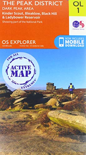
On all Peak District family walks it’s a good idea to have an Ordnance Survey paper map with you, even if you have your phone on you. For this walk you need the OS Explorer Map OL 01 (Dark Peak). It’s also a good opportunity to show young kids the map features and get them started with map reading.
| Preview | Product | Price | |
|---|---|---|---|
|
The Peak District: Dark Peak Area | Weatherproof | Peak… |
£13.55 |
Buy on Amazon |
Our Mam Tor walk follows the below map in a clockwise direction.

Get a printable download of this walk
Want to print off this walk guide rather than rely on your mobile? Then click here to download the PDF to print out at home. Perhaps print out a copy for the kids to follow the step-by-step directions and/or photos? It’s a great way to get them engaged with the walk and gives them a sense of responsibility.
All printable downloads are £3 each. Click here for the full list of Peak District Kids printable downloads.
25% discount when you purchase 4 or more walk guides using code: PDKWALKS25
Please note that your download link expires 72 hours from order, so make sure you save your PDF somewhere where you’ll remember it. If you are unsure where your download folder is on your mobile device, we recommend you download the PDF on your laptop or desktop.

Need to know
DISTANCE OF WALK: 4.2km (2.6 miles)
TYPE OF WALK: circular, moderately difficult with a bit of a climb
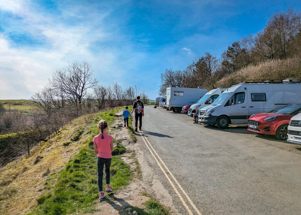
PARKING: Parking at Mam Tor National Trust Car Park. Click here for location on Google Maps, postcode is S33 8WA. This is National Trust car park and free for members. If you’re not a member, you can pay online using paybyphone. Up to 4 hours parking £6 and over 4 hours parking £8. There is roadside parking available, but please only use the designated laybys and park responsibly (parking wardens regularly ticket cars parked on double yellow lines). However, by parking at the National Trust car park, you are supporting the work that goes in to maintaining this area.
WALK HIGHLIGHTS: Mam Tor trig point, Hollins Cross, spectacular views, Broken Road, Blue Johns Cavern.
HOW LONG DOES IT TAKE: With young kids, allow a good 2.5 to 3 hours.
TOTAL ASCENT: 239 metres
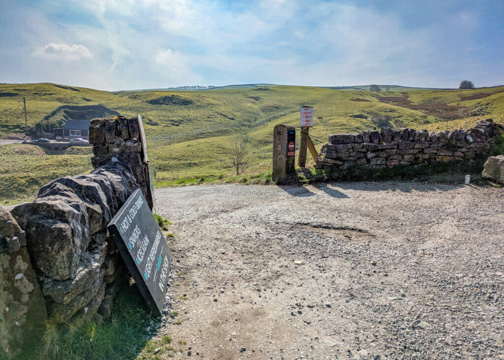
FACILITIES: The nearest public toilets and facilities are in Castleton. There is a coffee van in the car park and a small outdoor café by Blue John Cavern. Both open seasonally.


The route
START: Mam Tor National Trust Car Park
Click here for Google Map point
Grid reference: SK 1240 8333
Post code: S33 8WA
what3words: ///dragonfly.jobs.issues
Route follows a clockwise direction.
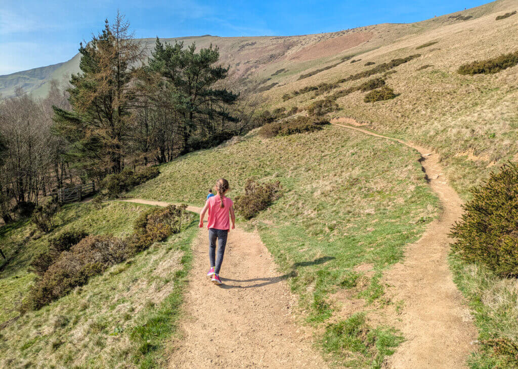
1. Take the footpath leading out the back of the car park (opposite side to the road entrance) and follow up to meet a bend in the road. Continue up towards Mam Tor, following the footpath signs. Please stick to the flagstone footpath here to avoid footpath erosion. The distance from the car park to the Mam Tor trig point is 550 metres.


2. Once you reach Mam Tor trig point, take a moment for the views and get photo evidence of your trig bagging! Then continue along the flagstone footpath down the other side along The Great Ridge.


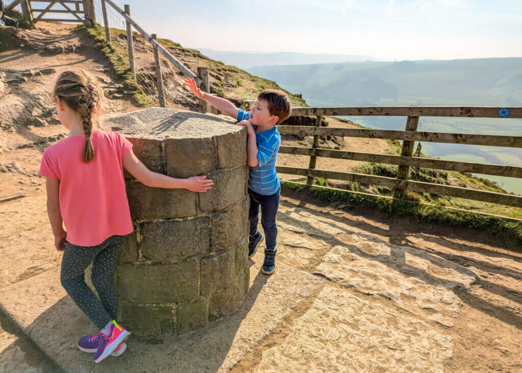
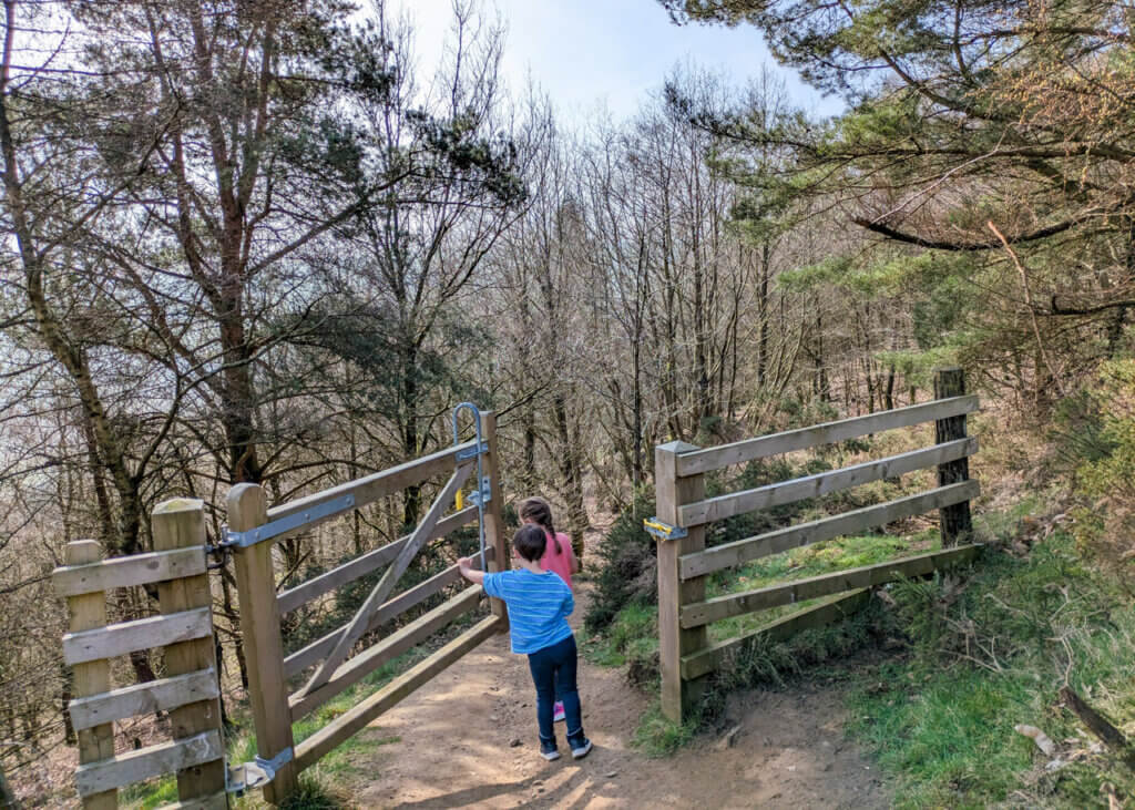
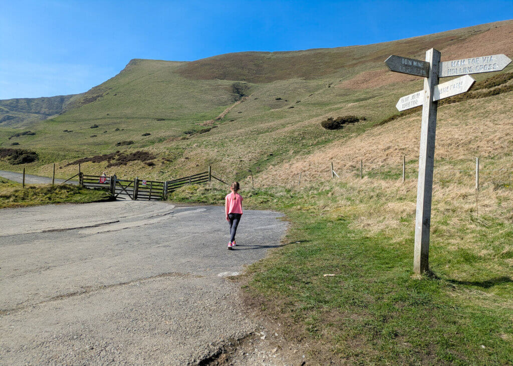
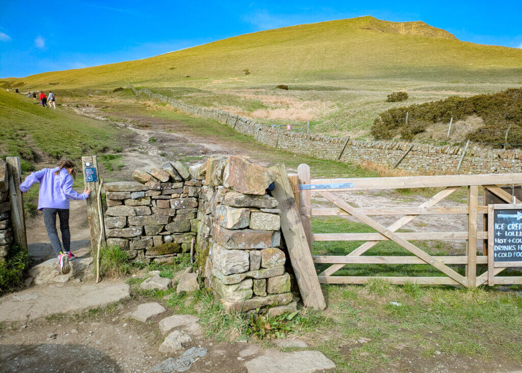
3. 1.35km from Mam Tor trig point, after passing through two wooden gates, you will reach Hollins Cross, as shown in the photo below. If you like, you can continue straight ahead to Lose Hill for more stunning views. Otherwise, to continue this Mam Tor walk, go through the gate on the right and follow the footpath down to the right.

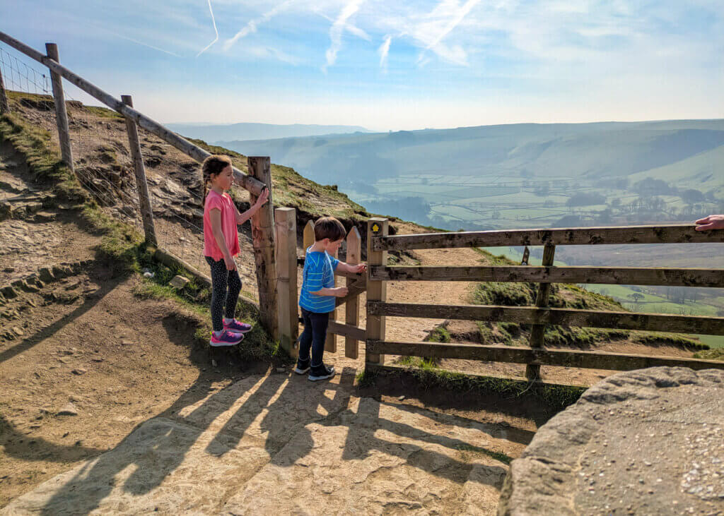
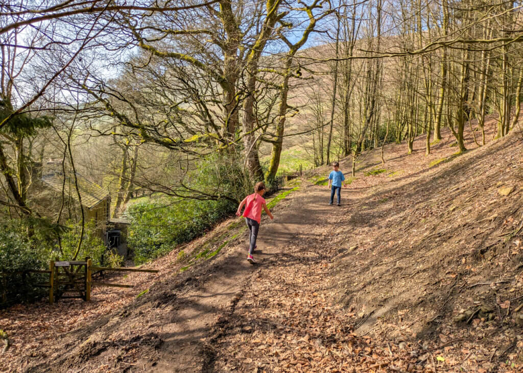
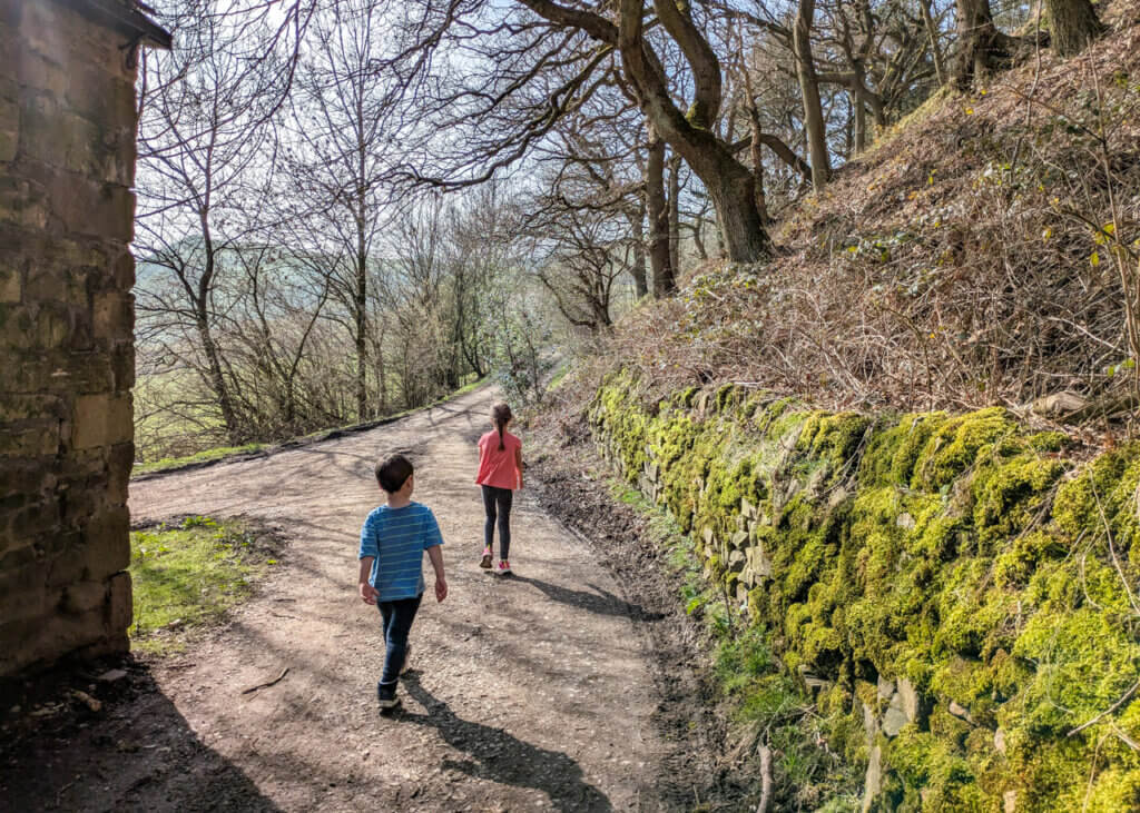
4. When you reach a fork after 300 metres from Hollins Cross, take the footpath on the left and continue downwards into the woodland. This footpath can get exceptionally muddy in the wet months, so take care. Then just before you reach the building on the left, take the footpath that veers right and through a wooden gate.
5. This footpath through the woods then leads you out onto a track. Take a right along the track walking past buildings on the left, to then lead out onto a bend on Broken Road.
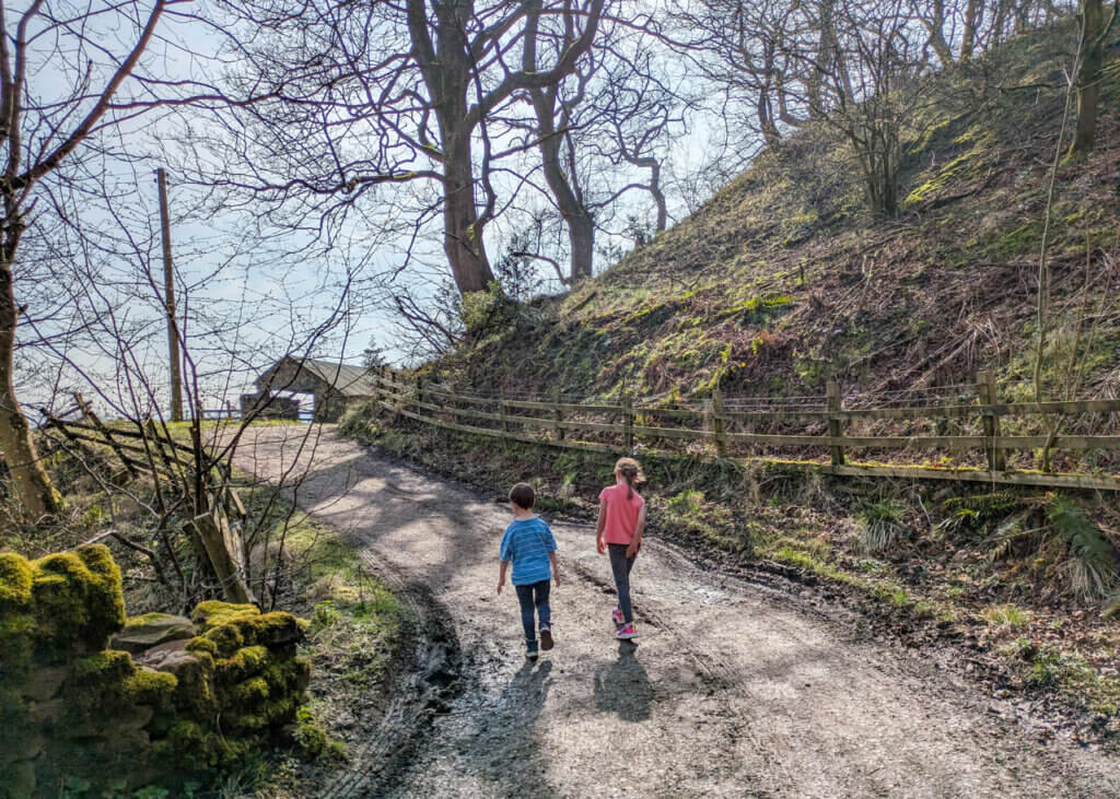
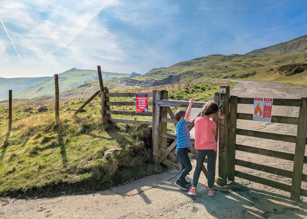
6. Once you reach the road, continue straight ahead, through the wooden gate, to continue along Broken Road (we did say it’s very broken!), climbing steadily up hill.

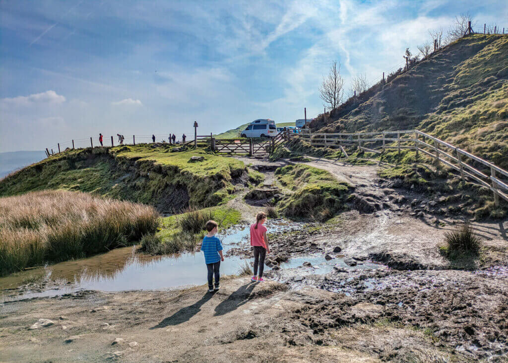
7. Cross a small stream and through a wooden gate that leads you into a car park. Continue straight ahead along the road, passing the entrance to Blue John Cavern on your left (worth a visit!) and a chance to enjoy a refreshment from the outdoor café (when open).
8. 300 metres past the entrance to Blue John Cavern is a footpath on your right. Take this footpath and climb up towards the road. Then take a left and retrace your steps back to the car park. This route avoids walking along the busy road. But if you want a shorter route back with a gentler climb, walk right along the road at the T-junction, just up from the entrance to Blue John’s Cavern.
-

-
 My Walks Log Book£10.95
 -
-

Peak District Kids is a free online resource. If you have found this website useful for planning your family adventures, you can show your support by buying me a coffee. Thanks so much!

Also, feel free to share your walk photos in our Peak District Kids Facebook Group or on Instagram using by tagging @peakdistrictkids in your caption so we can share with our wider community.
Want more ideas for family walks?
Best Family walks in the Peak District
Pram-friendly Peak District walks
Toddler walks in the Peak District
Walks with a baby carrier
Or, use the search walks page to find your perfect family walk.
Also, come and join our friendly Peak District Kids Facebook Group for any questions or to share photos of your walks.
