
February half term is just around the corner. Check out our guide for a full round-up of events and activities.
Peak District Kids writer: Helen from Little Puddle People
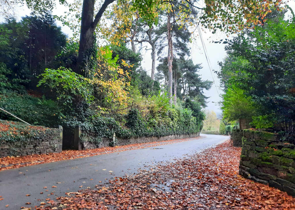
Whaley Bridge is a small town in the High Peak on the edge of the Peak District National Park, not far from Buxton. This short Whaley Bridge walk takes in its high street and beautiful memorial park. Bridges to cross as you follow the River Goyt, railways to go under, and works on the Toddbrook Dam keep this walk interesting for everyone.
Also, make sure you bring your kids’ scooters and/or skateboards, as there is a pump track and skate park half way around this short walk. If you have a kayak, canoe, or paddle board, you may want to head over to Whaley Bridge wharf to experience paddle boarding in Derbyshire.
The town is rich in industrial history with a canal wharf built to link Cromford Canal and Peak Forest Canal to transport the coal that was mined here and serve the cotton mill industry. More recently in 2019, Whaley Bridge was all over the media as a crack appeared in the dam wall of Toddbrook Reservoir. The town and some neighbouring villages had to be evacuated whilst the royal air force and fire brigade worked tirelessly to make it safe.
Disclaimer: This post contains affiliate links. Should you click to purchase, it is at no additional cost to you, but I receive a small commission.
When planning your visit to the National Park, please arrive early or late in the day to avoid crowds if visiting over sunny weekends or school holidays. Please also take all litter home with you, don’t bring BBQs, and park your car in designated parking areas. Also, please use these walks as a guide; access and stiles may change.
PARKING INFORMATION: Please do not rely solely on the postcode for parking directions. In the National Park, a postcode can cover a large area. Postcodes are only provided as guidance. Please either use the Google Maps point or what3words, which are provided on every walk guide.
-
-
 My Walks Log Book£10.95
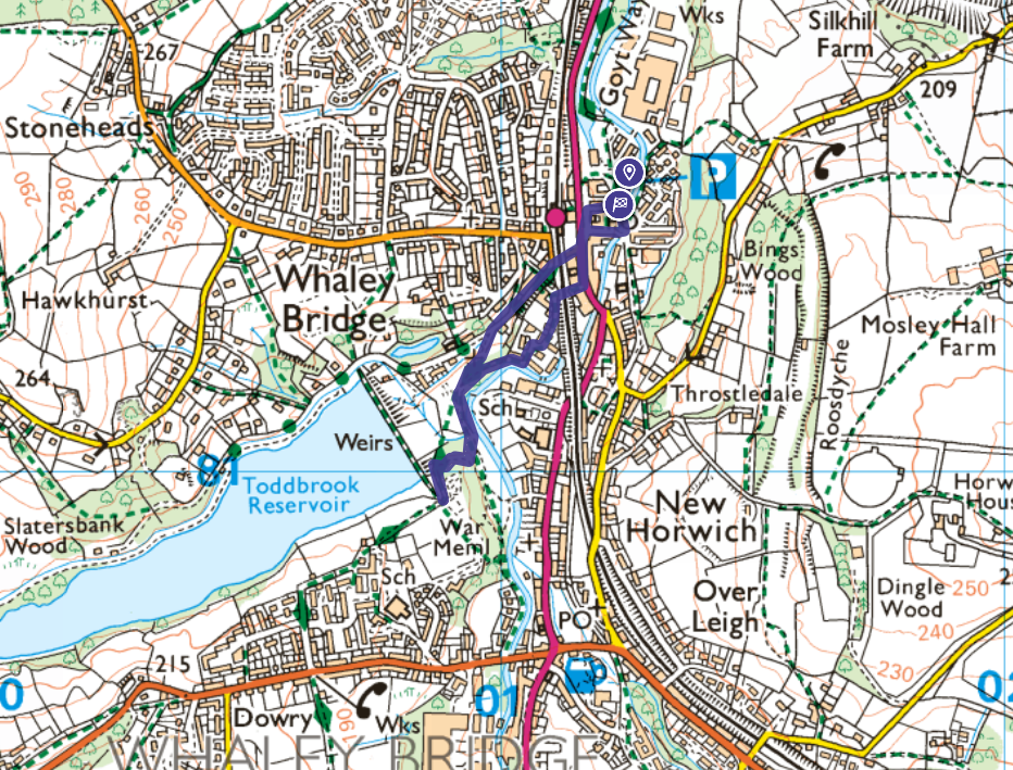
Map of Whaley Bridge walk
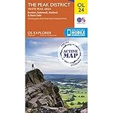
On all Peak District family walks it’s a good idea to have an Ordnance Survey paper map with you, even if you have your phone on you. For this walk you need the OS Explorer Active Map OL 24 (White Peak). It’s also a good opportunity to show young kids the map features and get them started with map reading.
| Preview | Product | Price | |
|---|---|---|---|
|
The Peak District: White Peak Area Map | Weatherproof | Peak… | £12.34 | Buy on Amazon |
This very short Whaley Bridge walk follows the below OS Map in an anticlockwise direction.
Need to know
DISTANCE OF WALK: 1.8km
TYPE OF WALK: circular town walk
PARKING: Parking is in Canal Wharf Car Park, Tom Brads Croft, SK23 7SR. Click here for Google Maps location. Parking is free all day. The council website it says it is charged, although there are updated signs in the car park and no parking meters present.
PUBLIC TRANSPORT: Access by rail to Whaley Bridge Station in the centre of town makes this destination easily accessible by public transport too.
WALK HIGHLIGHTS: Halfway around the walk you will come to a pump track and skate park – don’t forget your kids bikes/scooters as it is brilliant!
HOW LONG DOES IT TAKE: Allow 1hr for this walk, plus extra time for a longer play in the skatepark.
ACCESSIBILITY: The walk is pushchair friendly with no gates or stiles. It is mostly on surfaced paths with a short section that is slightly narrower through woodland but a pushchair would manage fine.
TOTAL ASCENT: 47m
FACILITIES: There are public toilets opposite the train station in the centre of Whaley Bridge (click here for location). We thoroughly recommend you pop into Little Fika cafe for some lunch and a play.

The route
START: Canal Wharf Car Park, Tom Brads Croft, SK23 7SR.
Click here for Google Maps location.
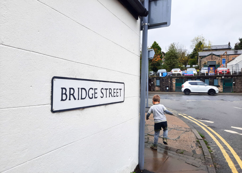
1. Heading out of the car park at the far end there is a footpath that leads to a bridge. Cross the first bridge and head right across another bridge onto Bridge Street. At the end of the road turn left onto Buxton road, this is the main shopping street through Whaley bridge.
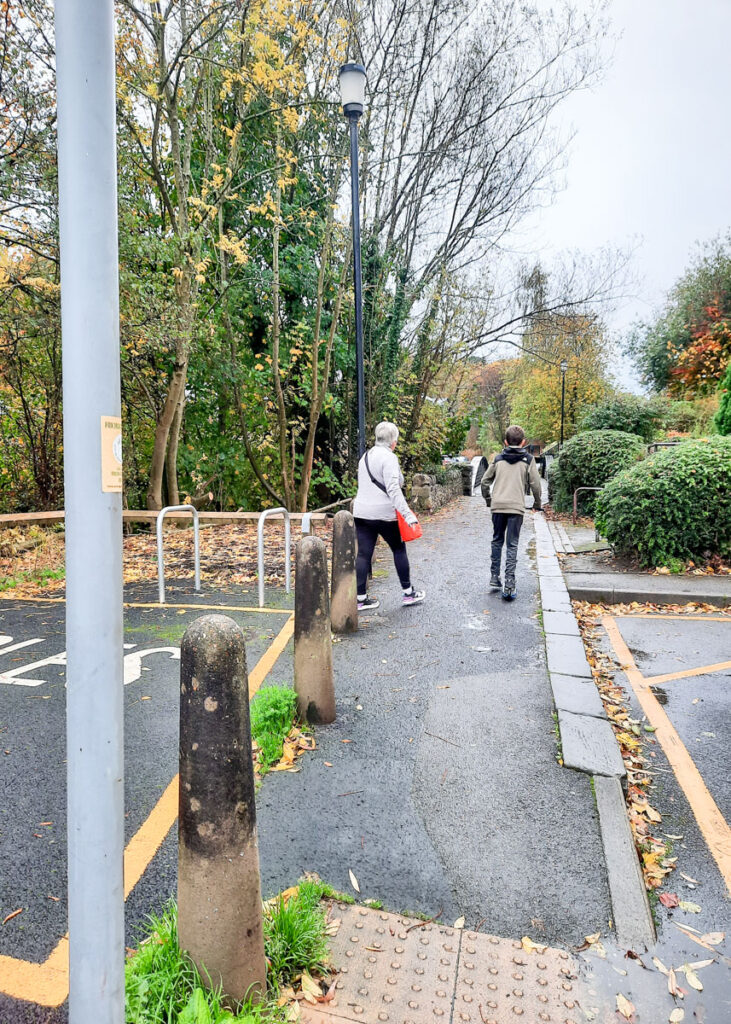

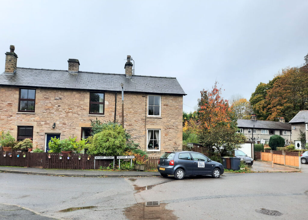
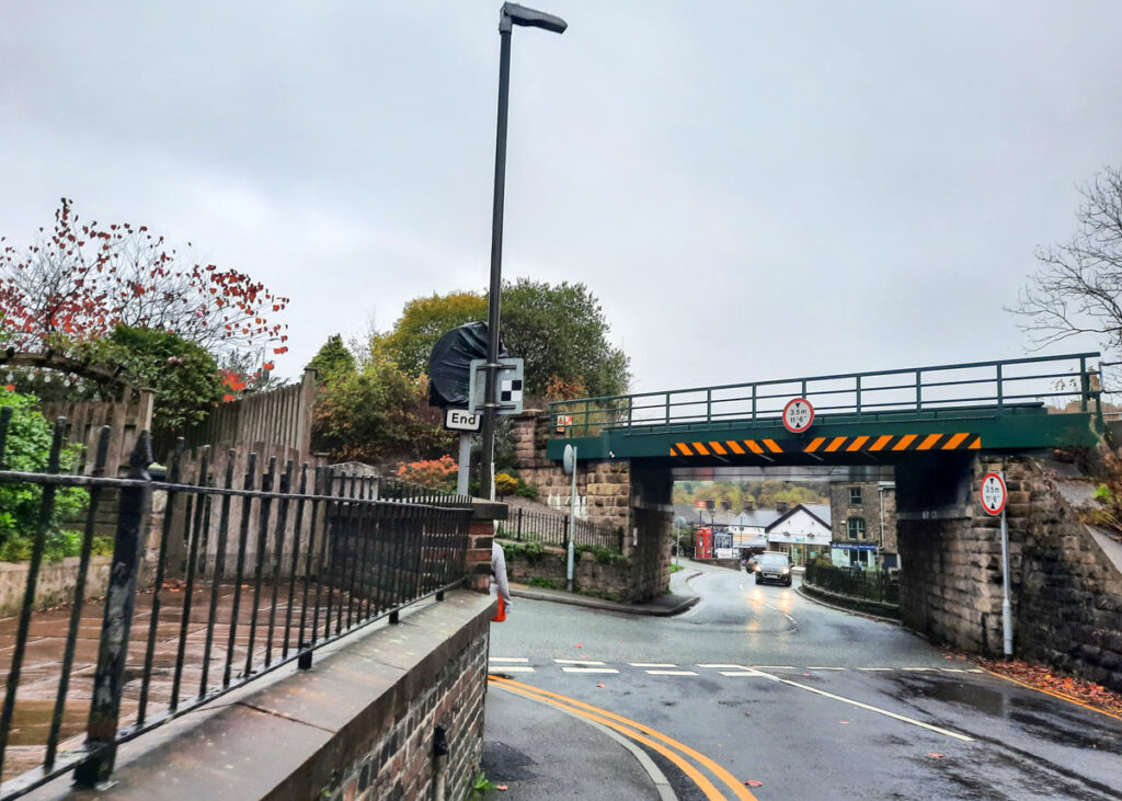
2. When you reach the pedestrian crossing cross over the road, continue to the left until you reach Wharf Road. Turn right down Wharf Road following the track under the railway bridge, past the old buildings on your right. As you reach the end you are in a small housing estate, turn right at the T-junction and almost immediately there is a narrow footpath that leads between the houses.

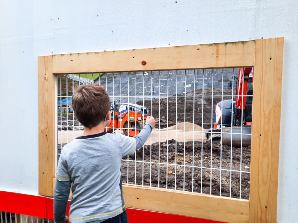
3. Following this woodland path, the river Goyt is on your left. The white and red safety fencing for the Toddbrook Reservoir will come into view as you head slightly uphill. Follow the path to the left, here you will find viewing windows into the site where you can see construction vehicles and the dam wall. There are also information boards about the works being carried out. The children’s playpark used to be situated here and is sign posted as being here but was removed due to the ongoing restoration works.

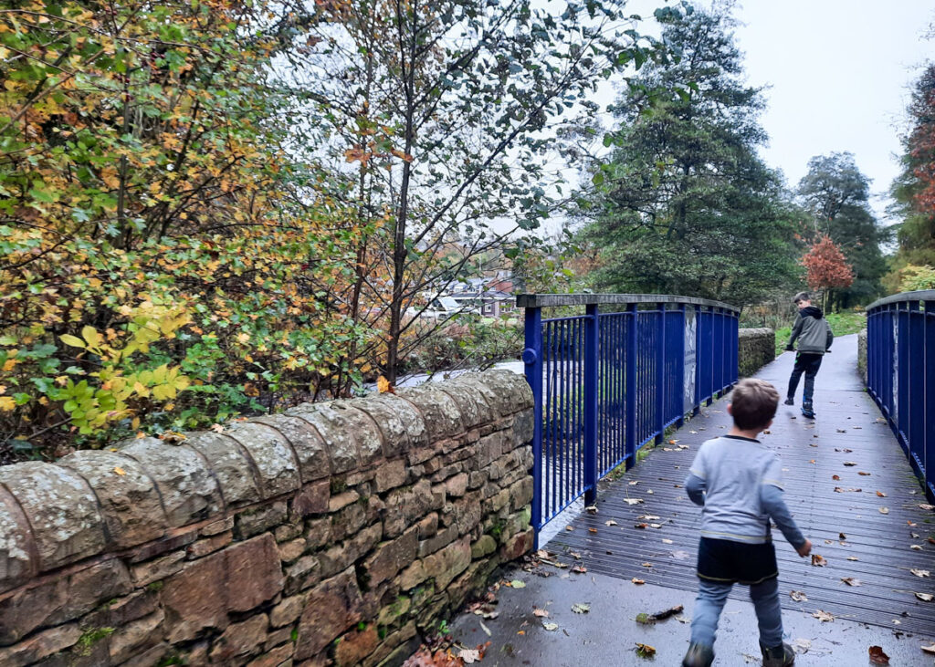
4. Continue along the footpath crossing a bridge alongside the river, there is some lovely metal work on the bridge and ducks to see.
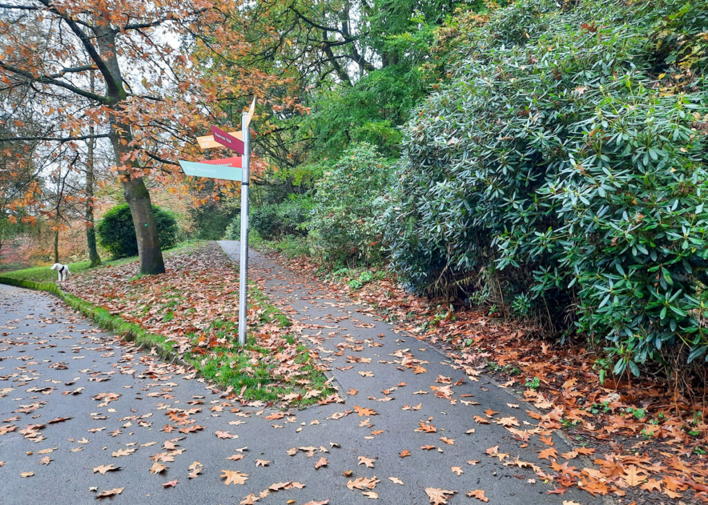
5. As you cross the bridge there are paths going in multiple directions and a rainbow coloured signpost, the signs don’t all seem to quite be pointing the right way. Take the path on the right and then right again, heading steeply uphill with a railing alongside.
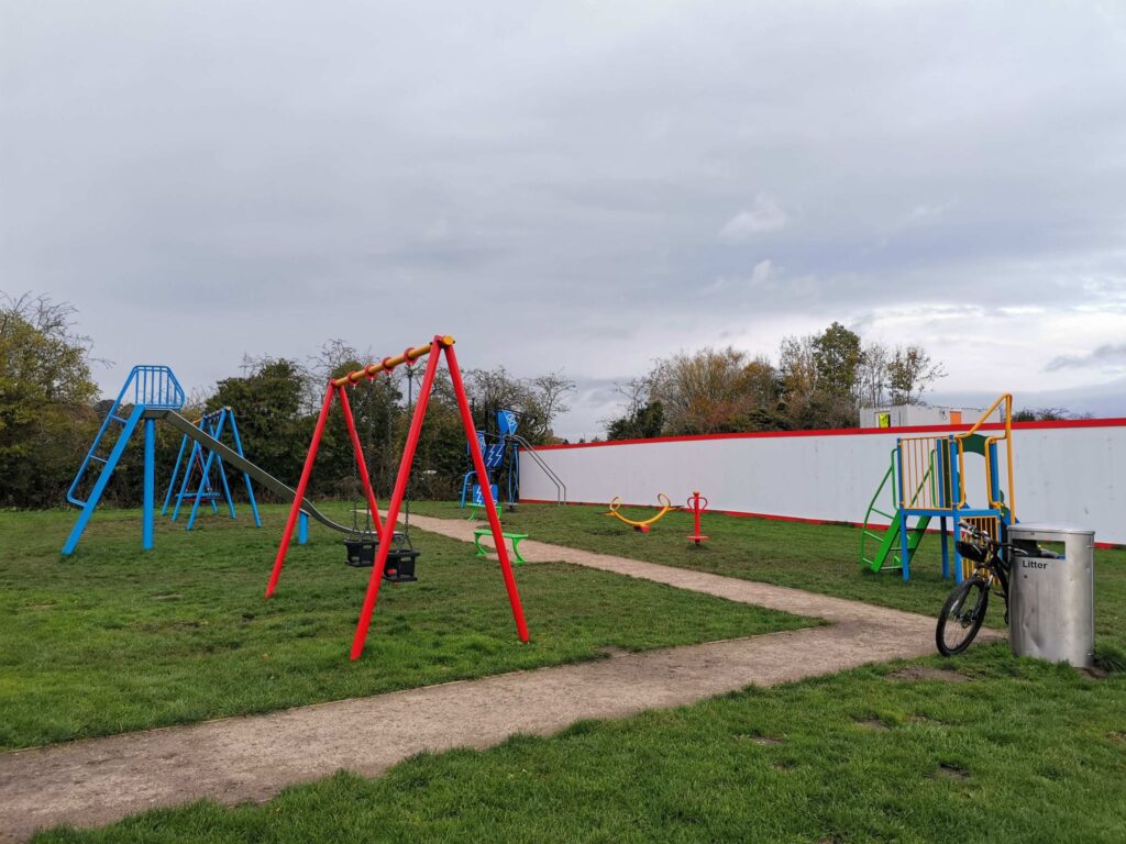
6. Follow this woodland path up and over the hill where the construction fencing will be on your right again. On your left you will reach the skatepark and pump track. There are picnic benches here. Usually this is where you would find a path across the Dam Wall which is currently closed. On the other side of the football pitch, there is a temporary playground.


7. Once the kids have had their adrenaline fix, head back down the path you came up and across the bridge. When you reach the bottom of the hill keep on the tarmac path to the left.


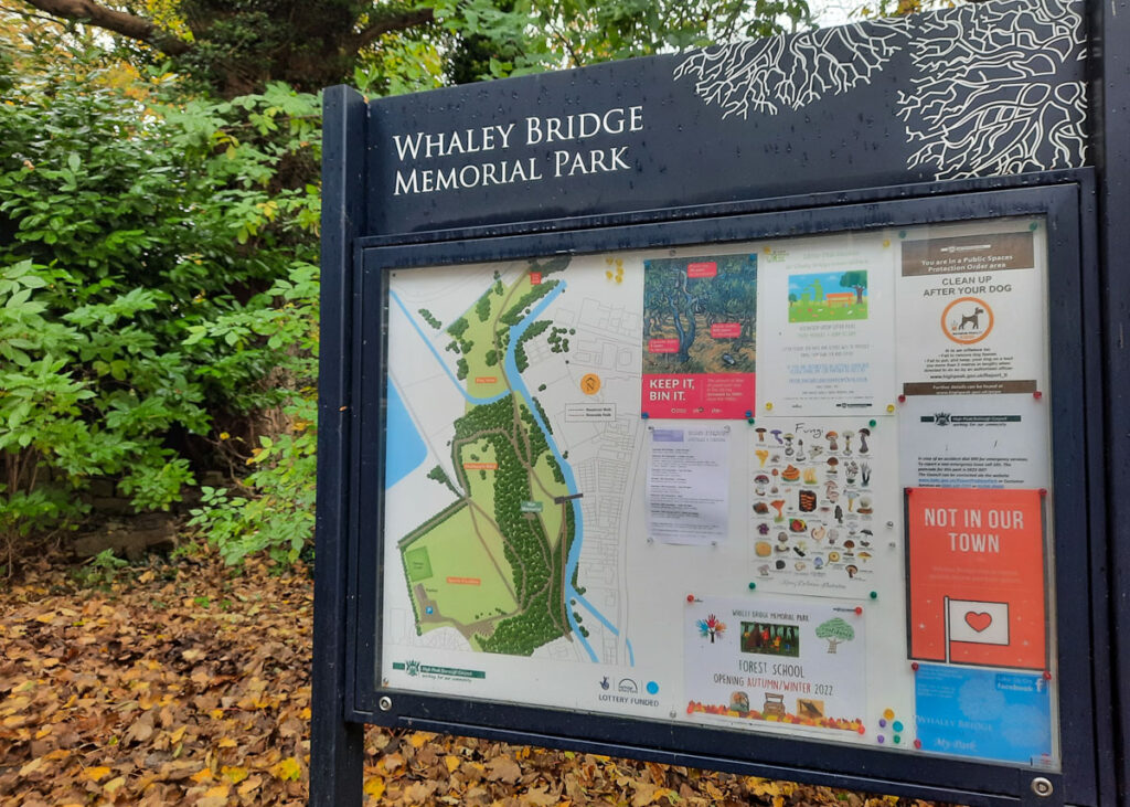
8. Heading up the other side of the valley, there is an information sign on your right about Whaley Bridge Memorial Park. Turn right out of the park and follow the pavement along Reservoir Road.
(At this point if you wanted to extend the walk you could turn left instead and head to see the reservoir, the path alongside the reservoir only goes for about 200m before becoming a dead end.)
9. Cross the road on the corner, heading straight under the railway bridge. When you reach the end of the road turn right to use the pedestrian crossing across the main road. Follow the road to the left and up ahead on your right you will reach the wonderfully welcoming Little Fika Café, which sadly is now permanently closed. Just past the café is an alleyway that takes you right back to Canal Wharf Car park.
Peak District Kids is a free online resource. If you have found this website useful for planning your family adventures, you can show your support by buying me a coffee. Thanks so much!

Also, feel free to share your walk photos in our Peak District Kids Facebook Group or on Instagram using by tagging @peakdistrictkids in your caption so we can share with our wider community.
-
-
My Walks Log Book£10.95
Want more ideas for family walks?
Best Family walks in the Peak District
Pram-friendly Peak District walks
Toddler walks in the Peak District
Walks with a baby carrier
Or, use the search walks page to find your perfect family walk.
Also, come and join our friendly Peak District Kids Facebook Group for any questions or to share photos of your walks.