Wondering what’s on over the summer holidays for families? Check out our What’s On guide.
Wondering how to get to Bamford Edge? It’s one of the easiest viewpoints to reach in the Peak District, along with Mam Tor and Baslow Edge.
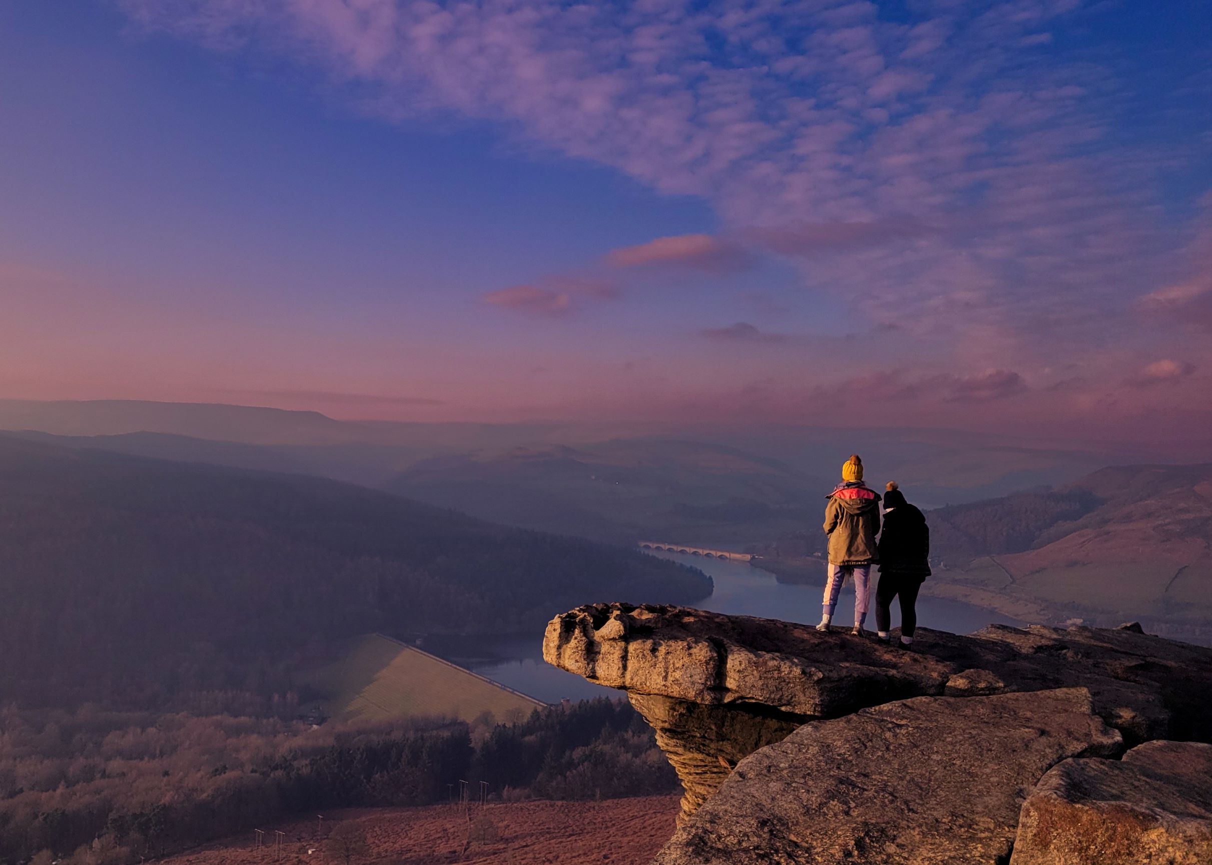
And what a view! Arguably the best in the Peak District. Especially at sunset. On a clear day you can see across to Win Hill, Lose Hill, over to the Kinder Plateau and down to Ladybower Reservoir.
But be warned, Bamford Edge has become extremely popular in recent years with the help of Instagrammers sharing photos of a particular hanging rock with the Ladybower Reservoir in the backdrop (check out the feature photo at the top by @naturelasia_photography). So if you want to escape the crowds, aim to visit early in the morning or in the winter months.
There are two main routes to Bamford Edge detailed below.
However, we also have a circular Bamford Edge walk (7.9km, circular) that takes you along Bamford Edge, down through woodland to Ladybower Reservoir (and past the plug holes), along the Thornhill Trail, over the stepping stones and Bamford Mill, and a stop at the pub before returning to the starting point. Click here for details of that walk.
Disclaimer: This post contains affiliate links. Should you click to purchase, it is at no additional cost to you, but I receive a small commission.
IMPORTANT READ: How to stay cool for your Peak District summer walks
When planning your visit to the National Park, please arrive early or late in the day to avoid crowds if visiting over sunny weekends or school holidays. Please also take all litter home with you, don’t bring BBQs, and park your car in designated parking areas. Also, please use these walks as a guide; access and stiles may change.
PARKING INFORMATION: Please do not rely solely on the postcode for parking directions. In the National Park, a postcode can cover a large area. Postcodes are only provided as guidance. Please either use the Google Maps point or what3words, which are provided on every walk guide.

ROUTE 1: Bamford Edge from New Road
This is the easiest walking route to Bamford Edge. It’s just a 1km steady uphill climb. Allow 30 minutes (45 minutes with young kids).
Where to park
There is layby parking along New Road. Click here for the Google Map location. This is a small lane with limited spaces, so please arrive early and park considerately (do not park in front of any gates and allow enough space for emergency vehicles and tractors to pass).

If there are no obvious spaces, you will have to drive to Heatherdene car park and follow the Bamford Edge walk from Heatherdene car park detailed further down this post.
Please note that there are no facilities along New Road.
Walk Map
On all Peak District family walks it’s a good idea to have an Ordnance Survey paper map with you, even if you have your phone on you. For this walk you need the OS Explorer Map OL 01 (Dark Peak). It’s also a good opportunity to show young kids the map features and get them started with map reading.
| Preview | Product | Price | |
|---|---|---|---|
|
The Peak District: Dark Peak Area | Weatherproof | Peak… |
£13.55 |
Buy on Amazon |

Walking route to Bamford Edge from New Road
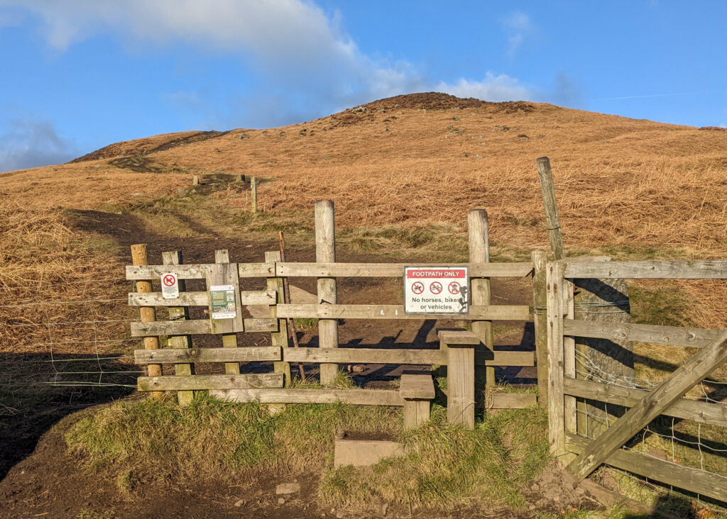
1. Climb over the stile next to the parking area. Just ten metres ahead two footpaths cross. Take the footpath on the left, NOT the one going straight up hill. The footpath on the left is a much steadier climb to Bamford Edge.


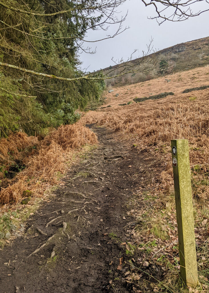
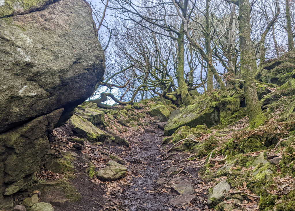
2. You soon approach a fork. Take the one on the right, although it really doesn’t matter as they end up in the same place. Then keep walking to the rocky outcrop shown in the second photo immediately below.


3. Once you reach the top of Bamford Edge, follow the footpath along the edge. The views are incredible. And you’ll soon reach one of THOSE rocks where everyone takes a photo. This is the hanging rock. It’s not actually a huge drop below, it’s all about camera angles. But so take care with little ones.

4. Further along (this section is relatively flat), Ladybower Reservoir comes onto view, and you’ll spot the next photo hotspot. You will soon realise why it’s so popular; it’s absolutely beautiful.

ROUTE 2: Bamford Edge from Heatherdene car park
If parking is full along New Road, Heatherdene car park is your next best option. However, this car park does get very busy too and really, on a weekend day and school holidays you need to arrive by 10am at the absolute latest.
This route from Heatherdene car park to Bamford Edge is 2.3km each way. Allow 1.5 hours to get to the first view point on Bamford Edge. Allow 2.5 hours in total (for the walk up and down again).
Where to park
Click here for Google Maps location, postcode: S33 0BY. All-day parking is £3 (there is now a card machine). There are toilet facilities here and also a drinking fountain.


Heatherdene car park is also the starting point of our Win Hill walk and where visitors park to visit the Ladybower Plug Holes.
Walk Map
On all Peak District family walks it’s a good idea to have an Ordnance Survey paper map with you, even if you have your phone on you. For this walk you need the OS Explorer Map OL 01 (Dark Peak). It’s also a good opportunity to show young kids the map features and get them started with map reading.
| Preview | Product | Price | |
|---|---|---|---|
|
|
The Peak District: Dark Peak Area | Weatherproof | Peak… |
£13.55 |
Buy on Amazon |

Walking route to Bamford Edge from New Road
1. Walk towards the toilets at Heatherdene car park (opposite end to the entrance) and follow the footpath straight ahead.

2. After 500 metres there is a footpath turning on your left opposite a green dome in the ground. Take this footpath through the woods, away from the road. Keep walking straight ahead, don’t follow the red arrow.


3. Coming out of the trees, follow the white arrows that direct you up to Bamford Edge. You will be lead over a small wooden footbridge and over a stile and small stream, to then continue upwards.


4. Keep following the arrows along the drystone wall and back into woodland.


5. As you approach the top, there will be a footpath on your right to Bamford Edge.


-

-
 My Walks Log Book£10.95
 -
-

Peak District Kids is a free online resource. If you have found this website useful for planning your family adventures, you can show your support by buying me a coffee. Thanks so much!

Also, feel free to share your walk photos in our Peak District Kids Facebook Group or on Instagram using by tagging @peakdistrictkids in your caption so we can share with our wider community.
Want more ideas for family walks?
Best Family walks in the Peak District
Pram-friendly Peak District walks
Toddler walks in the Peak District
Walks with a baby carrier
Or, use the search walks page to find your perfect family walk.
Also, come and join our friendly Peak District Kids Facebook Group for any questions or to share photos of your walks.
You may also like to read:
Bamford Edge circular walk
Derwent Dam walk up to Pike Low
Stanage Edge walk
