Wondering what to do this coming half term? Check out our Peak District October Half Term guide.
This Alport to Youlgreave walk is an easy circular stroll along either side of the River Bradford. The views on the last section are particularly beautiful as you take a short climb up to a hilltop. We recommend that kids wear wellies on this walk so they can paddle in the river, and if you’re doing this walk in the warmer summer months, bring the kids’ wetsuits and towels as there is a small designated swimming area.
Youlgreave is a very pretty village and worth a detour from the walk for lunch at one of the three pubs (you’re spoilt for choice, although do book a table at weekends and school holidays). You can also extend this walk by combining it with our Middleton to Youlgreave walk to make a 6.6km loop.
For the purposes of this walk, we are using the Ordnance Survey spelling of Youlgreave. However, you will also see it spelt Youlegreave and Youlgrave, and there are in fact many more spellings throughout history of this quaint Peak District village.
Disclaimer: This post contains affiliate links. Should you click to purchase, it is at no additional cost to you, but I receive a small commission.
When planning your visit to the National Park, please arrive early or late in the day to avoid crowds if visiting over sunny weekends or school holidays. Please also take all litter home with you, don’t bring BBQs, and park your car in designated parking areas. Also, please use these walks as a guide; access and stiles may change.
PARKING INFORMATION: Please do not rely solely on the postcode for parking directions. In the National Park, a postcode can cover a large area. Postcodes are only provided as guidance. Please either use the Google Maps point or what3words, which are provided on every walk guide.
-
 My Walks Log Book£10.95
 -


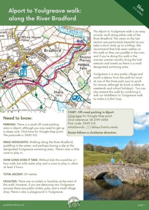
Alport to Youlgreave walk map
On all Peak District family walks it’s a good idea to have an Ordnance Survey paper map with you, even if you have your phone on you. For this walk you need the OS Explorer Active Map OL 24 (White Peak). It’s also a good opportunity to show young kids the map features and get them started with map reading.
| Preview | Product | Price | |
|---|---|---|---|

|
The Peak District: White Peak Area Map | Weatherproof | Peak… |
£11.95 |
Buy on Amazon |
This walk follows the below map in a clockwise direction.

Get a printable download of this walk
Want to print off this walk guide rather than rely on your mobile? Then click here to download the PDF to print out at home. Perhaps print out a copy for the kids to follow the step-by-step directions and/or photos? It’s a great way to get them engaged with the walk and gives them a sense of responsibility.
All printable downloads are £2.50 each. Click here for the full list of Peak District Kids printable downloads.
Please note that your download link expires 72 hours from order, so make sure you save your PDF somewhere where you’ll remember it. If you are unsure where your download folder is on your mobile device, we recommend you download the PDF on your laptop or desktop.
Need to know
DISTANCE OF WALK: 3km / 1.9 miles
TYPE OF WALK: A circular walk. Can get muddy in wet weather. Good for paddling and even a wild swim.
PARKING: There is a small off-road parking area in Alport, although you may need to get up a steep curb. Click here for Google Map point. The postcode is: DE45 1LG.
WALK HIGHLIGHTS: Walking along the River Bradford, paddling in the water, and perhaps jumping in for a swim at the designated Youlgreave swimming area. There’s also a little cave to play in.
HOW LONG DOES IT TAKE: Without kids this would be a 1 hour walk, but with water play and a cave to play in, allow at least 2 hours.
ACCESSIBILTY: A couple of tight squeeze stiles, spring gates and a stile. Not suitable for prams.
TOTAL ASCENT: 59 metres
PUBLIC TOILETS: There are no toilets or facilities at the start of this walk. However, if you are detouring into Youlgreave enroute there are public toilets (click here for Google Map location), pubs, and a small village shop. There is also a playground in Youlgreave.

The route
START: Off-road parking in Alport
Click here for Google Map point
Grid reference: SK 2199 6454
Post code: DE45 1LG
what3words: ///delays.frantic.newly
Route follows a clockwise direction.
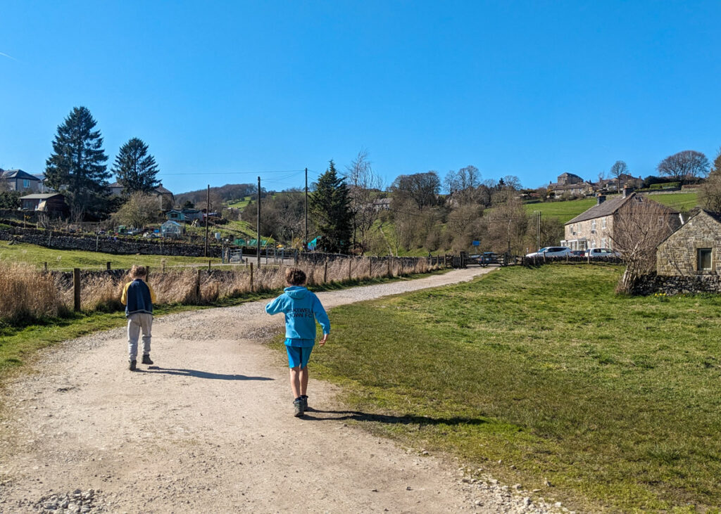
1. Starting from the little off-road parking area in Alport, with the parking area on your left, walk down the road toward the red phone box (which is now a defibrillator station).


2. Follow the lane on the right, through the white gate, and then through a squeeze stile to the right of another gate. Continue along this flat gravel footpath with the River Bradford on your right.
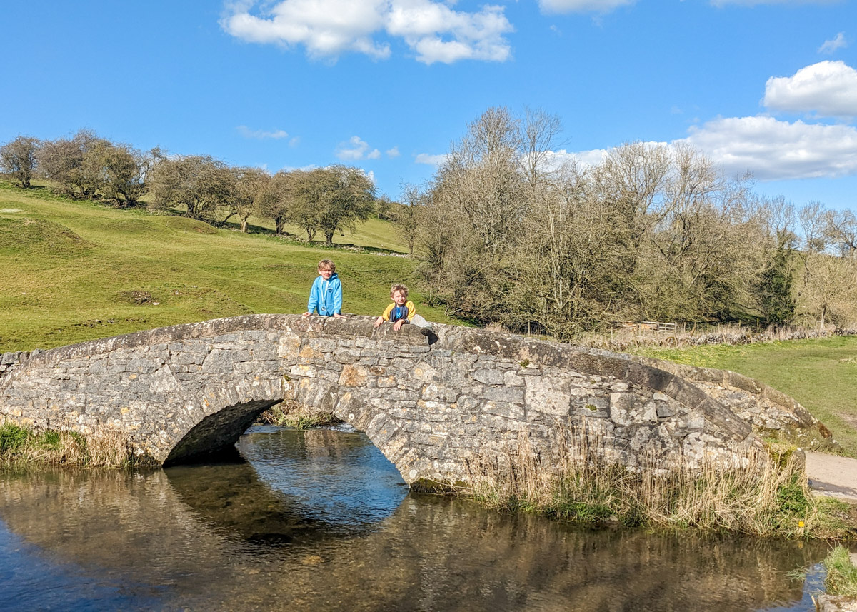
3. The footpath soon joins a track from the left. Continue straight ahead, then shortly after this the footpath forks with a grassy path to the right. It doesn’t matter which footpath you take as they lead to the same place; a packhorse bridge. There are big humps in-between the paths that kids will have fun running up and down.


4. Don’t cross right over the packhorse bridge. Instead, continue straight ahead along the gravel path and then round to the right to meet a road.
5. Cross the road and walk straight ahead to meet a little stone footbridge, which leads left across the river.

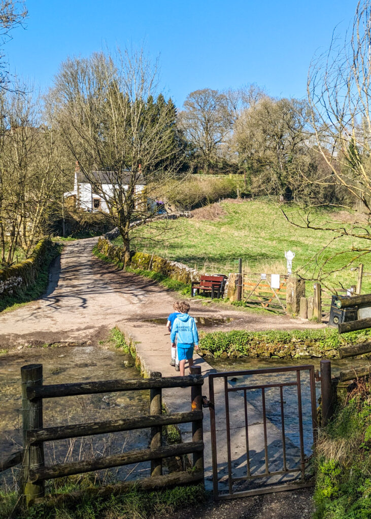
6. Walk over the footbridge and then take the footpath immediately on the right, leading uphill. Continue along this footpath through another wooden gate.


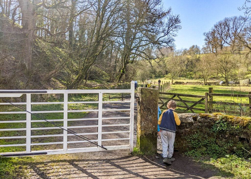
7. In the next field, follow the footpath ahead and then bear right to go through this gate in the photo below.

8. Just after this gate, on the left is a small cave area to play in. Follow the zigzag path back down to the river to cross the stone bridge. This section of the walk intersects our Middleton to Youlgreave walk (step 9), which turns left, upstream along the River Bradford. If you wanted to extend this walk, you can combine the two walks to make a longer 6km walk.

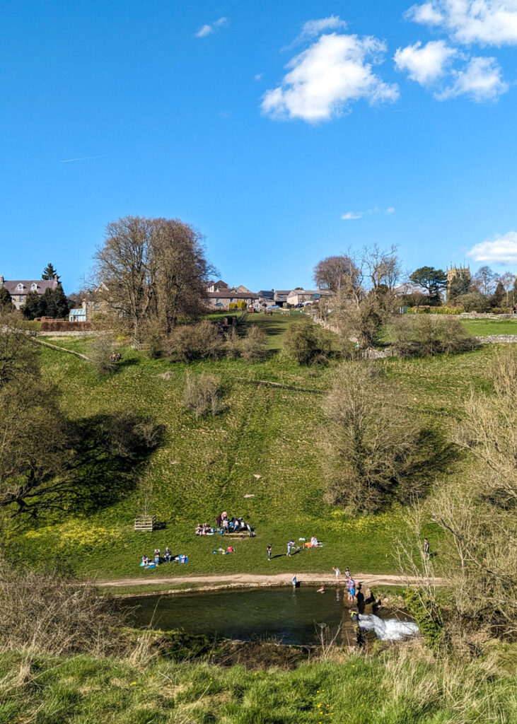
9. Take the footpath on the right (either through the squeeze stile or gate) to walk back along the other side of the River Bradford, walking downstream. A little way along here is the Youlgreave swimming area if you fancy a dip! Also, if you want to detour into Youlgreave here, take the footpath on the left just past the swimming area that leads up the hill. Otherwise, continue along the footpath with the River Bradford to your right, until you reach the next gate. This meets the point where you crossed a small stone footbridge earlier in the walk.


10. Don’t take the immediate left up the lane. Instead walk straight ahead a further 20 metres to walk up the next road on the left. Do be wary of cars (and tractors!). It’s also quite steep.

11. After 120 metres, there is a sign on your right marking two footpaths. Take the higher footpath on the left. The views looking back along the dale here are very pretty.


12. Keep following the waymarked footpath through the gates. This will lead you back to the road. When you reach the road, you should be able to see your car on the right.


Peak District Kids is a free online resource. If you have found this website useful for planning your family adventures, you can show your support by buying me a coffee. Thanks so much!

Also, feel free to share your walk photos in our Peak District Kids Facebook Group or on Instagram using by tagging @peakdistrictkids in your caption so we can share with our wider community.
-
My Walks Log Book£10.95
-
Want more ideas for family walks?
Best Family Walks in the Peak District
Pram Friendly Peak District walks
Toddler walks in the Peak District
Or, use the search walks page to find your perfect family walk.
Also, come and join our friendly Peak District Kids Facebook Group for any questions or to share photos of your walks.