
Wondering what to do this coming half term? Check out our Peak District October Half Term guide.
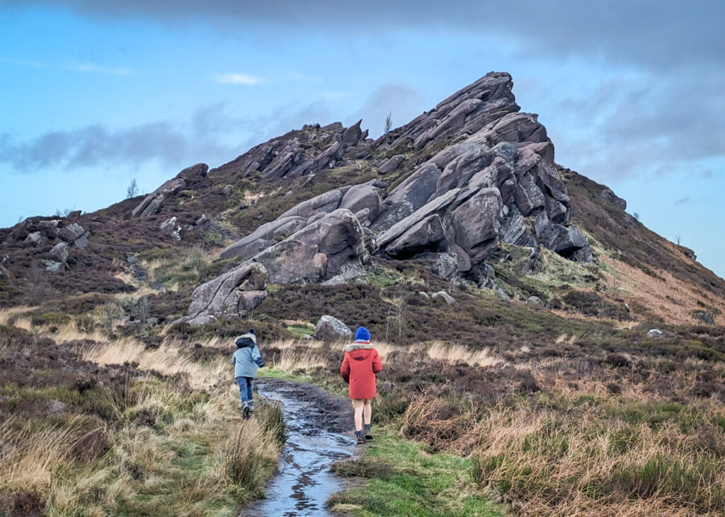
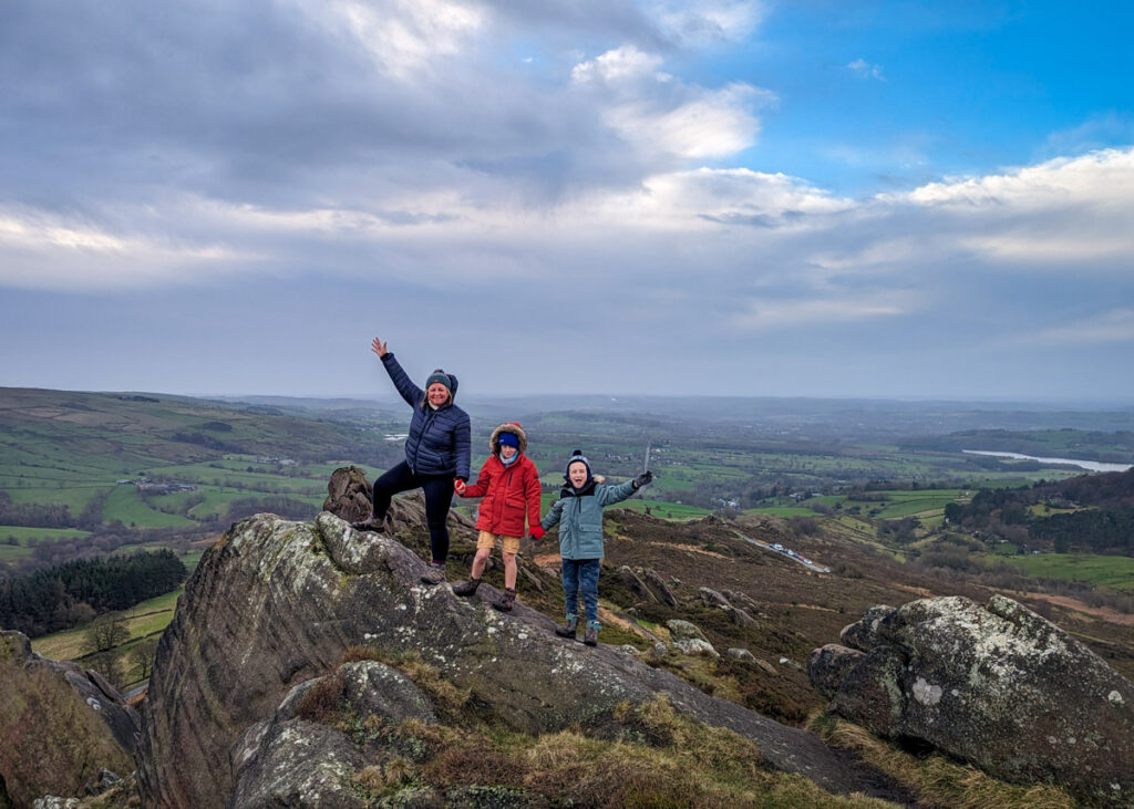
Ramshaw Rocks is a distinct rocky outcrop that towers over the main road (A53) between Buxton and Leek on the Staffordshire side of the Peak District. It offers superb views of Hen Cloud, The Roaches, and beyond to Tittesworth Reservoir and Leek, and kids will love scrambling over the boulders here.
This Ramshaw Rocks walk is a short, circular walk that leads you up to the outcrop for those epic views and then loops back through farmland. The footpath is uneven throughout the walk, so hiking boots are advised. And even though this is a ‘short’ walk, do allow a good couple of hours for the rough terrain, playing on boulders, and taking in those views.
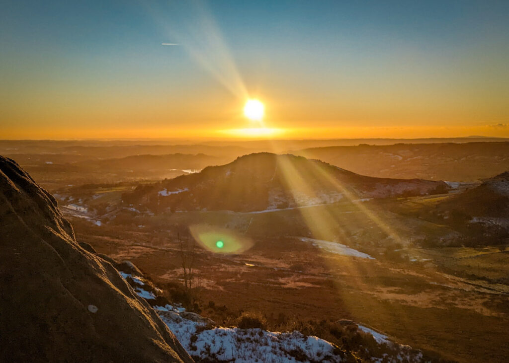
Also, please be warned that parking is extremely limited at the start of this walk and you need to arrive before 9am to secure a parking space on weekends and school holidays. Trust us, the early start will be worth it. Alternatively, head up to Ramshaw Rocks closer to sunset, when the views are spectacular on a clear day.
Disclaimer: This post contains affiliate links. Should you click to purchase, it is at no additional cost to you, but I receive a small commission.
When planning your visit to the National Park, please arrive early or late in the day to avoid crowds if visiting over sunny weekends or school holidays. Please also take all litter home with you, don’t bring BBQs, and park your car in designated parking areas. Also, please use these walks as a guide; access and stiles may change.
PARKING INFORMATION: Please do not rely solely on the postcode for parking directions. In the National Park, a postcode can cover a large area. Postcodes are only provided as guidance. Please either use the Google Maps point or what3words, which are provided on every walk guide.
-
 My Walks Log Book£10.95
 -

Ramshaw Rocks walk map
On all Peak District family walks it’s a good idea to have an Ordnance Survey paper map with you, even if you have your phone on you. For this walk you need the OS Explorer Active Map OL 24 (White Peak). It’s also a good opportunity to show young kids the map features and get them started with map reading.
| Preview | Product | Price | |
|---|---|---|---|

|
The Peak District: White Peak Area Map | Weatherproof | Peak… |
£11.95 |
Buy on Amazon |
This Ramshaw Rocks walk follows an anticlockwise direction.

Get a printable download of this walk
Want to print off this walk guide rather than rely on your mobile? Then click here to download the PDF to print out at home. Perhaps print out a copy for the kids to follow the step-by-step directions and/or photos? It’s a great way to get them engaged with the walk and gives them a sense of responsibility.
All printable downloads are £2.50 each. Click here for the full list of Peak District Kids printable downloads.
Please note that your download link expires 72 hours from order, so make sure you save your PDF somewhere where you’ll remember it. If you are unsure where your download folder is on your mobile device, we recommend you download the PDF on your laptop or desktop.
Need to know
DISTANCE OF WALK: 3.4km (2.1 miles)
TYPE OF WALK: A circular walk with superb views.
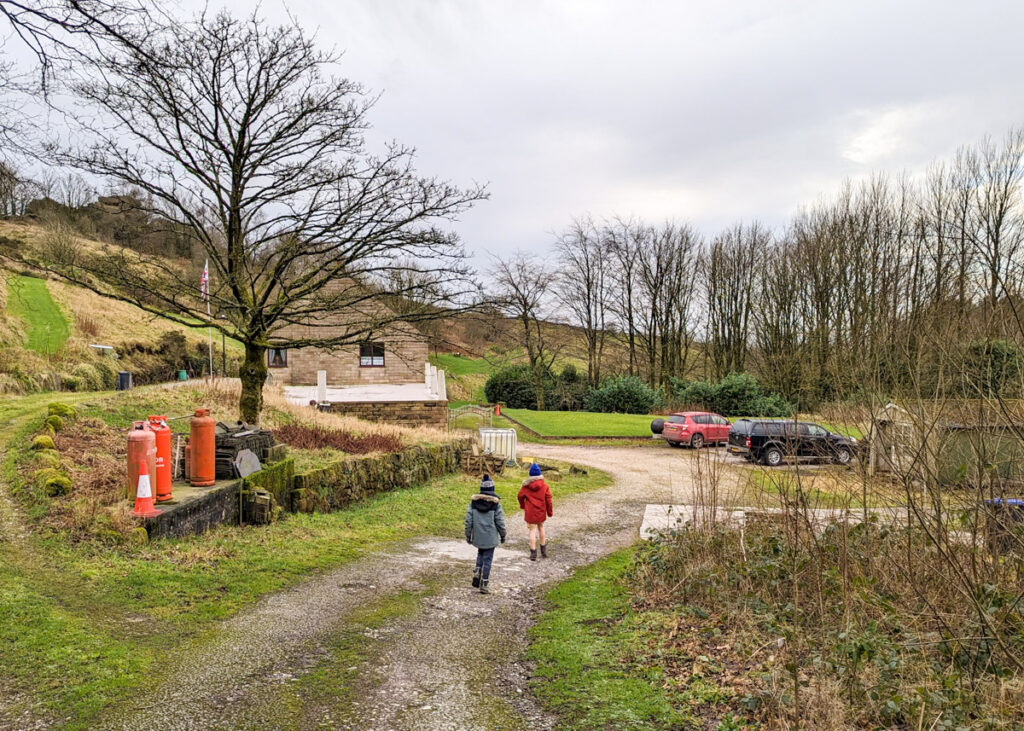
PARKING: Free layby parking along the aptly named road, “Back of the Rocks”, at Ramshaw Rocks layby. Click here for Google Map point (postcode ST13 8UG). Please note that parking spaces are limited and if you are visiting over a weekend or school holidays, aim to arrive before 9am.
WALK HIGHLIGHTS: Epic views, boulder scrambling, farmland.
HOW LONG DOES IT TAKE: Without kids this would be a 1.5 hour walk. However, with time to stop for playing on boulders and taking in the views, allow at least 2 hours with kids.
TOTAL ASCENT: 161 metres
PUBLIC TOILETS: There are no toilet facilities on this walk. The Winking Man and Ye Olde Rock Inn are a 2 minute drive away in opposite directions, and both open at 12pm. Otherwise, The Roaches Tea Room (booking recommended) is a 5 minute drive away and opens at 9am. Please do check websites for opening times.

The route
START: Ramshaw Rocks layby
Click here for Google Map point
Grid reference: SK 0175 6202
Post code: ST13 8UG
what3words: ///essential.launcher.marmalade
Route follows an anticlockwise direction.
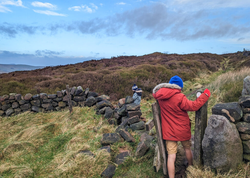
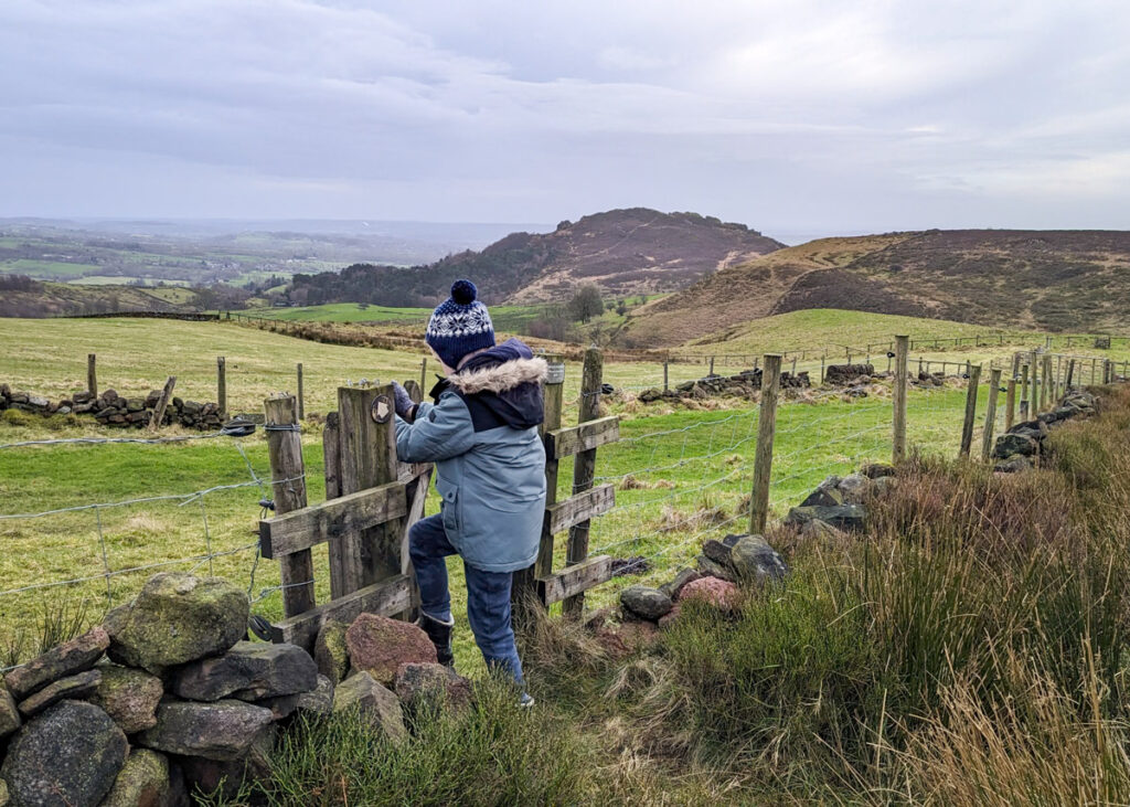
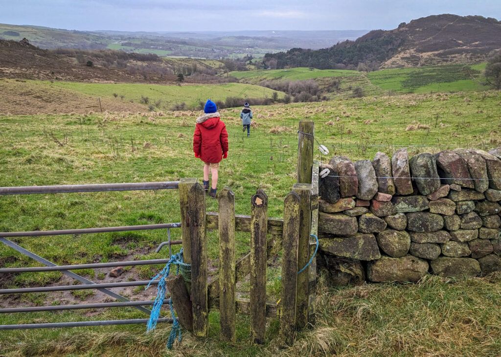
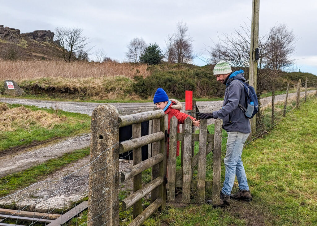
1. At the far end of the parking bay (with the cars on your left), take the unmarked footpath on the right, uphill. At the other end of the parking bay is another footpath. Both footpaths lead to the same point. Detour to play on the first set of boulders.
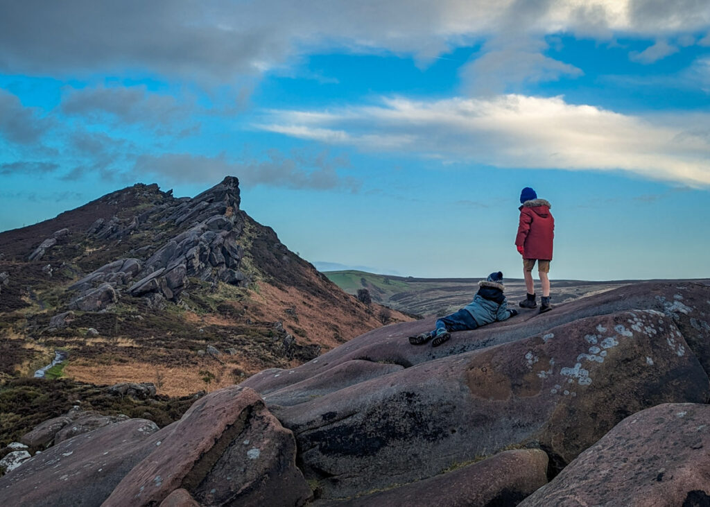
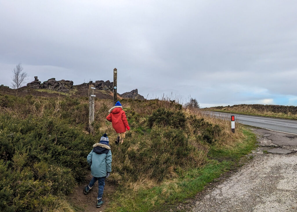
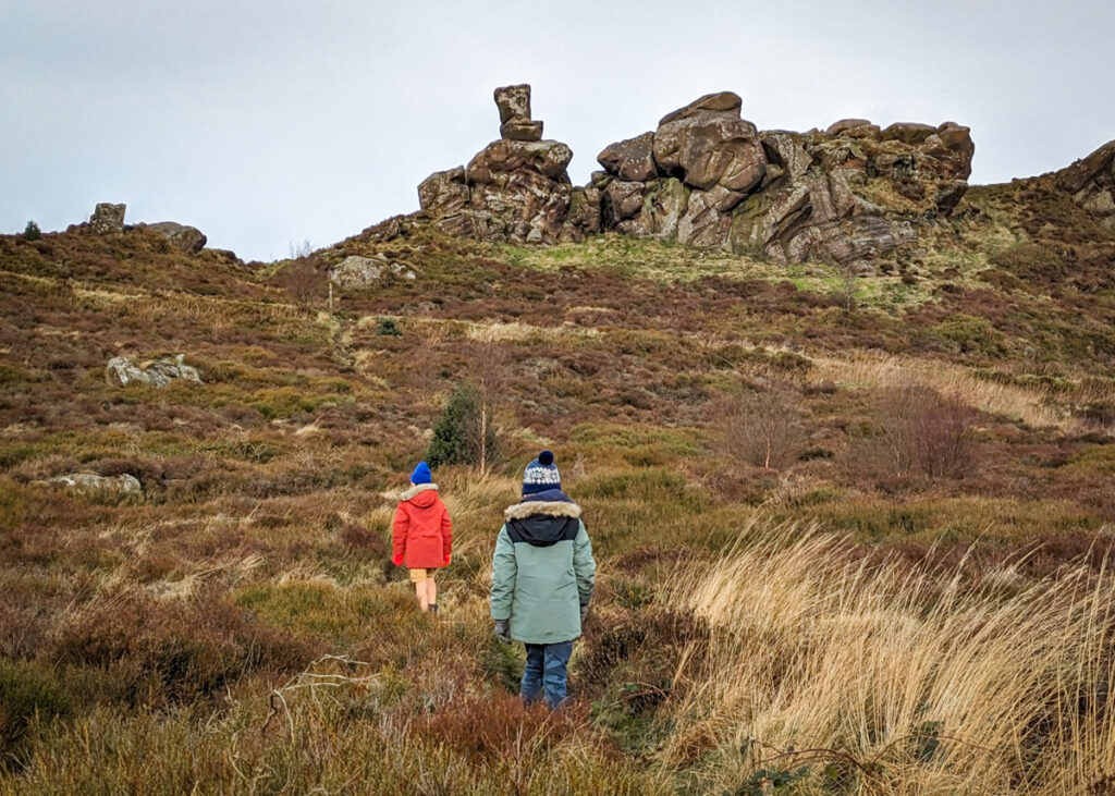
2. Back on the main footpath, continue up to the top of Ramshaw Rocks, the distinct rocky outcrop that looks like a wave.
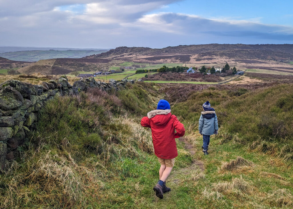
3. When you reach the top, stop to take photos (and play on more rocks), then continue along the footpath down the other side of Ramshaw Rocks.
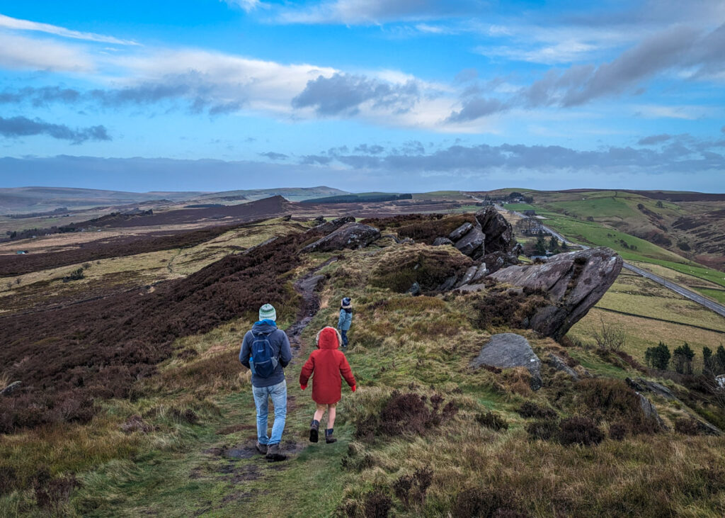
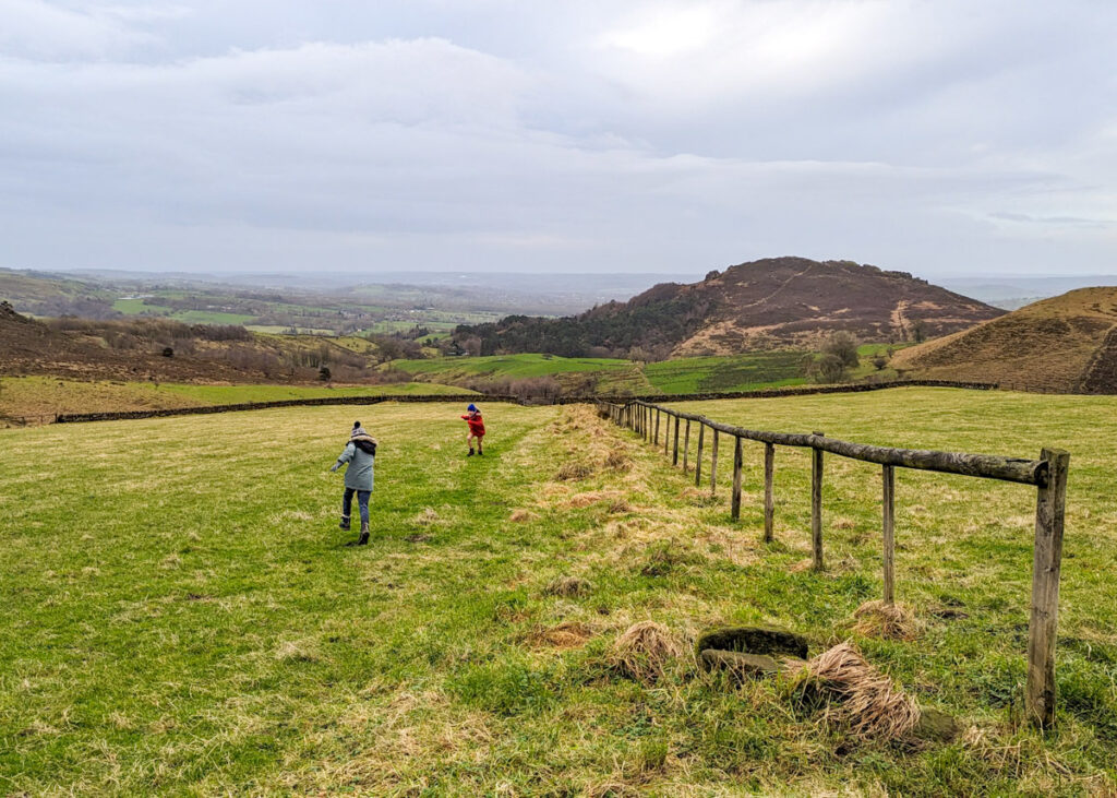
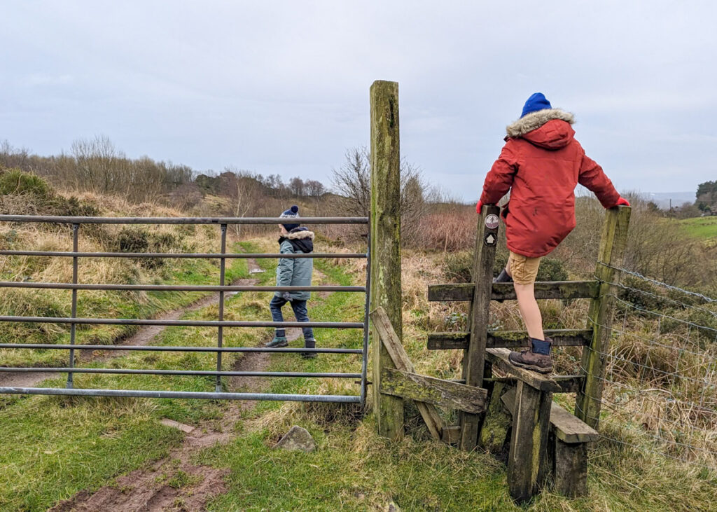
4. Walk through the wooden gate that leads away from Ramshaw Rocks and continue the footpath straight ahead with the drystone wall on your right.
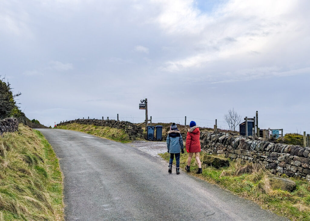
5. Take a left at the next wooden gate, walking downhill with the drystone wall on your left. Continue for 350 metres to the road.
6. At the road, cross over to the left and pick up the public footpath on the left of Misty Hills’ drive. Continue along this footpath with Hen Cloud straight ahead and the Roaches to your right. If you want to cut this Ramshaw Rocks walk short, you could instead continue along the road as this leads back to the parking bay (850 metres away).
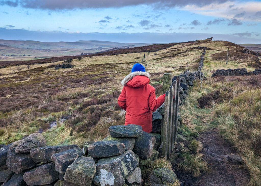
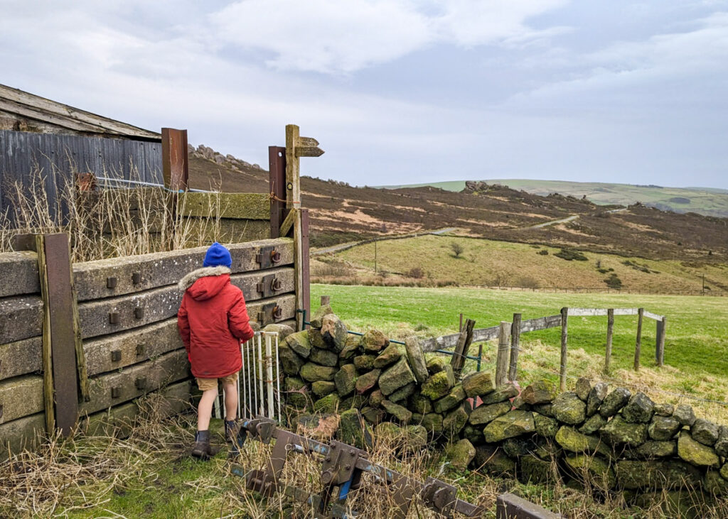
7. After 200 metres there is a wooden gate on your left. Take this footpath up to the left in the direction of Ramshaw Rocks. A drystone wall is on your immediate right.
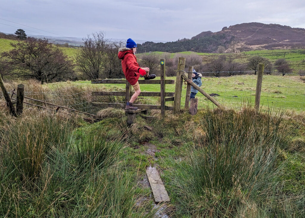
8. Immediately before the barn, there is a very tight stile on your right. Walk through and follow the footpath downhill with the wooden fence on your right. Continue straight on at the wooden gate, following the yellow markers.
9. At the bottom of the field, climb over the wooden stile and follow the arrows veering left, further downhill. Cross the brook and continue uphill to the right. After 250 metres, climb over a wooden stile and continue along a farm track.
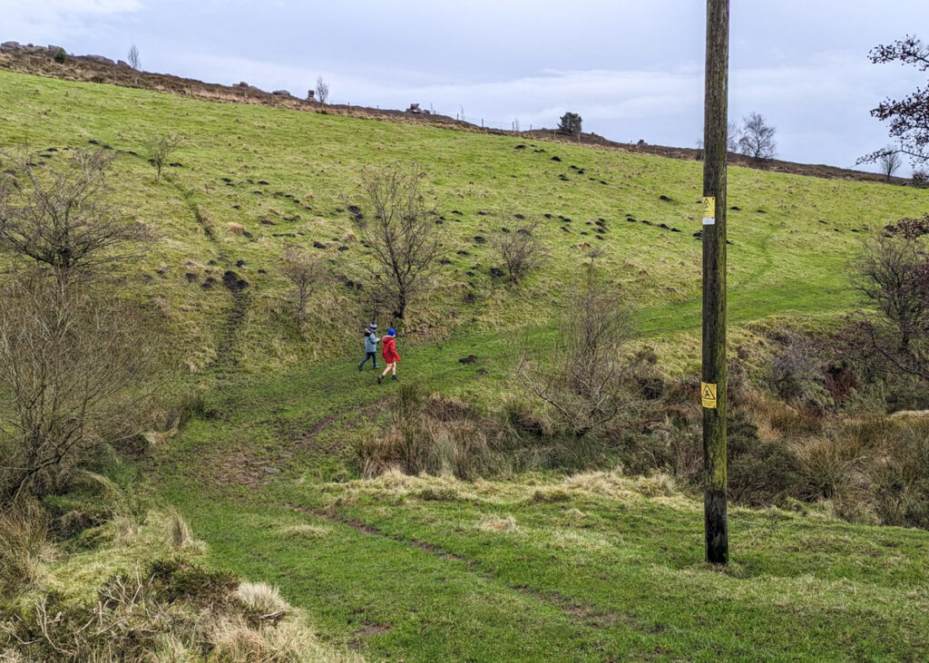
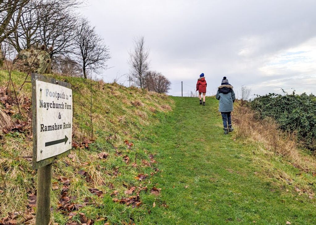
10. At the junction with a lane, take a right. You will pass directly through a farm (yes, this is a public right of way). Pick up the grassy footpath on the other side of the farm, signposted ‘Naychurch Farm’.
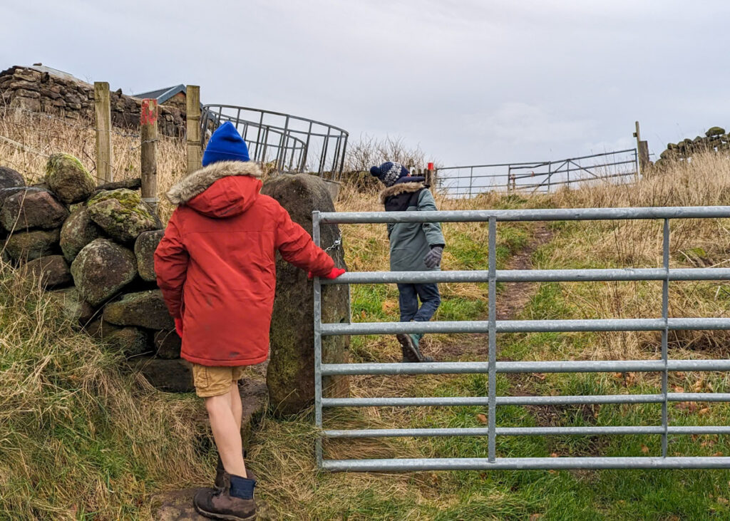
11. This leads to a metal gate with a red marker to the left. Follow the red markers showing a concessionary path around Naychurch Farm.
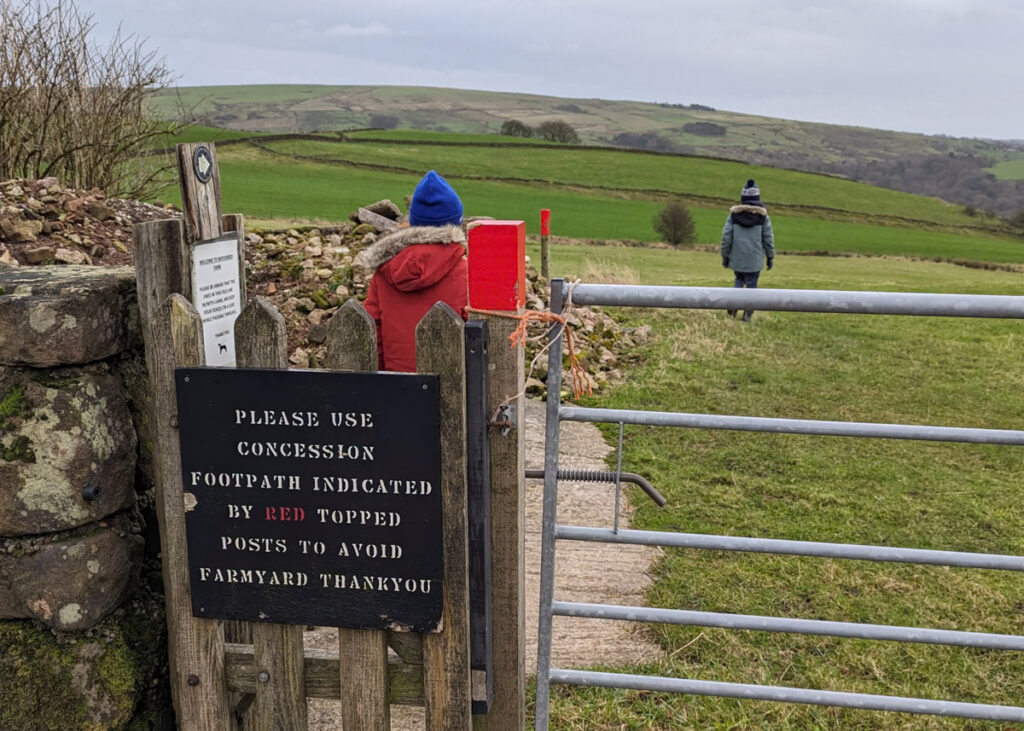
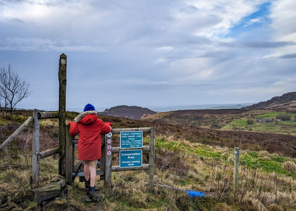
12. At the end of the concessionary path, walk through the wooden gate and take a right to the main road.
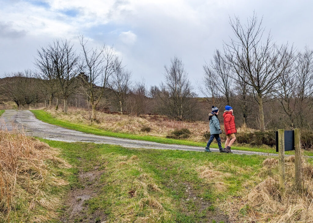
13. Just before the main road, take the footpath on the left back towards Ramshaw Rocks. Be careful of the spiky thistles along here.
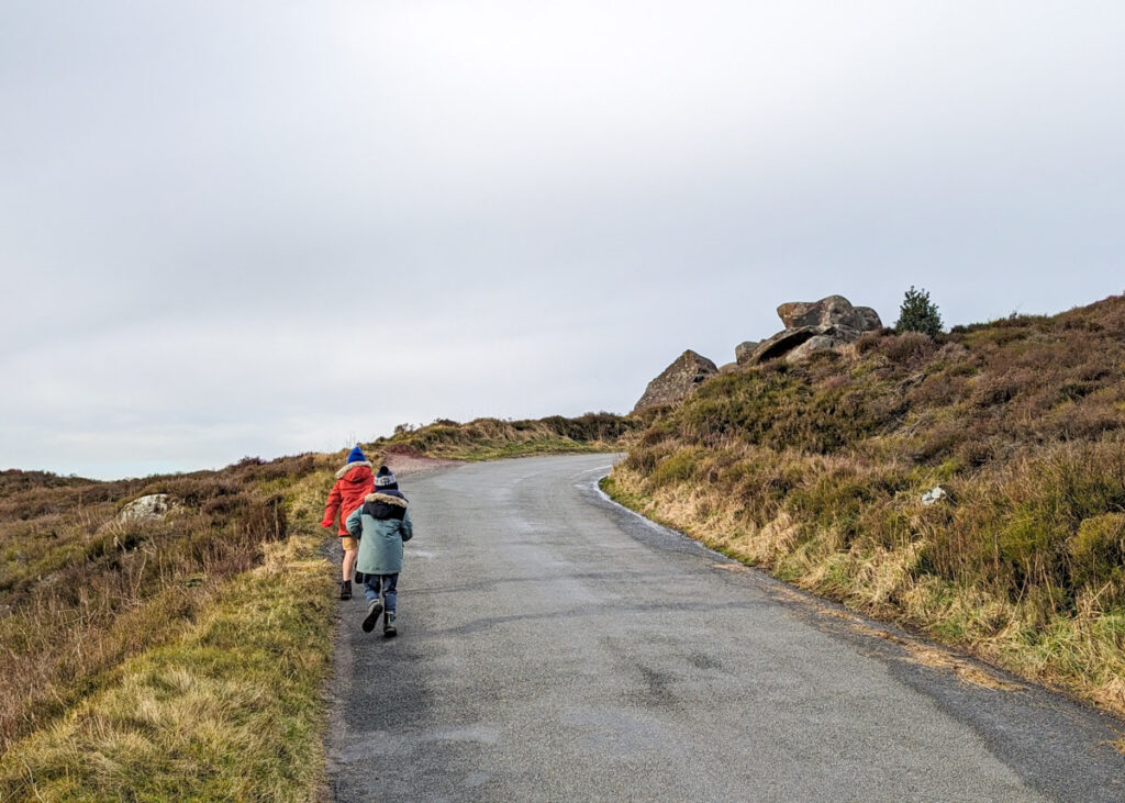
14. Take a left at the road and follow it for 150 metres back you your car to complete this Ramshaw Rocks walk.
Peak District Kids is a free online resource. If you have found this website useful for planning your family adventures, you can show your support by buying me a coffee. Thanks so much!

Also, feel free to share your walk photos in our Peak District Kids Facebook Group or on Instagram using by tagging @peakdistrictkids in your caption so we can share with our wider community.
-
My Walks Log Book£10.95
-
Want more ideas for family walks?
Best Family Walks in the Peak District
Pram Friendly Peak District walks
Toddler walks in the Peak District
Or, use the search walks page to find your perfect family walk.
Also, come and join our friendly Peak District Kids Facebook Group for any questions or to share photos of your walks.